
The City Council's newly formed Ad Hoc Redistricting Committee has advanced a "hybrid map" of proposed new council district boundaries, reflecting a draft design from a civilian commission while incorporating changes introduced by council members.
The committee includes Council President Nury Martinez -- who chairs the committee -- Councilwoman Nithya Raman and Councilmen Mitch O'Farrell, Bob Blumenfield, Kevin de Leon, Paul Koretz and Curren Price.
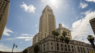
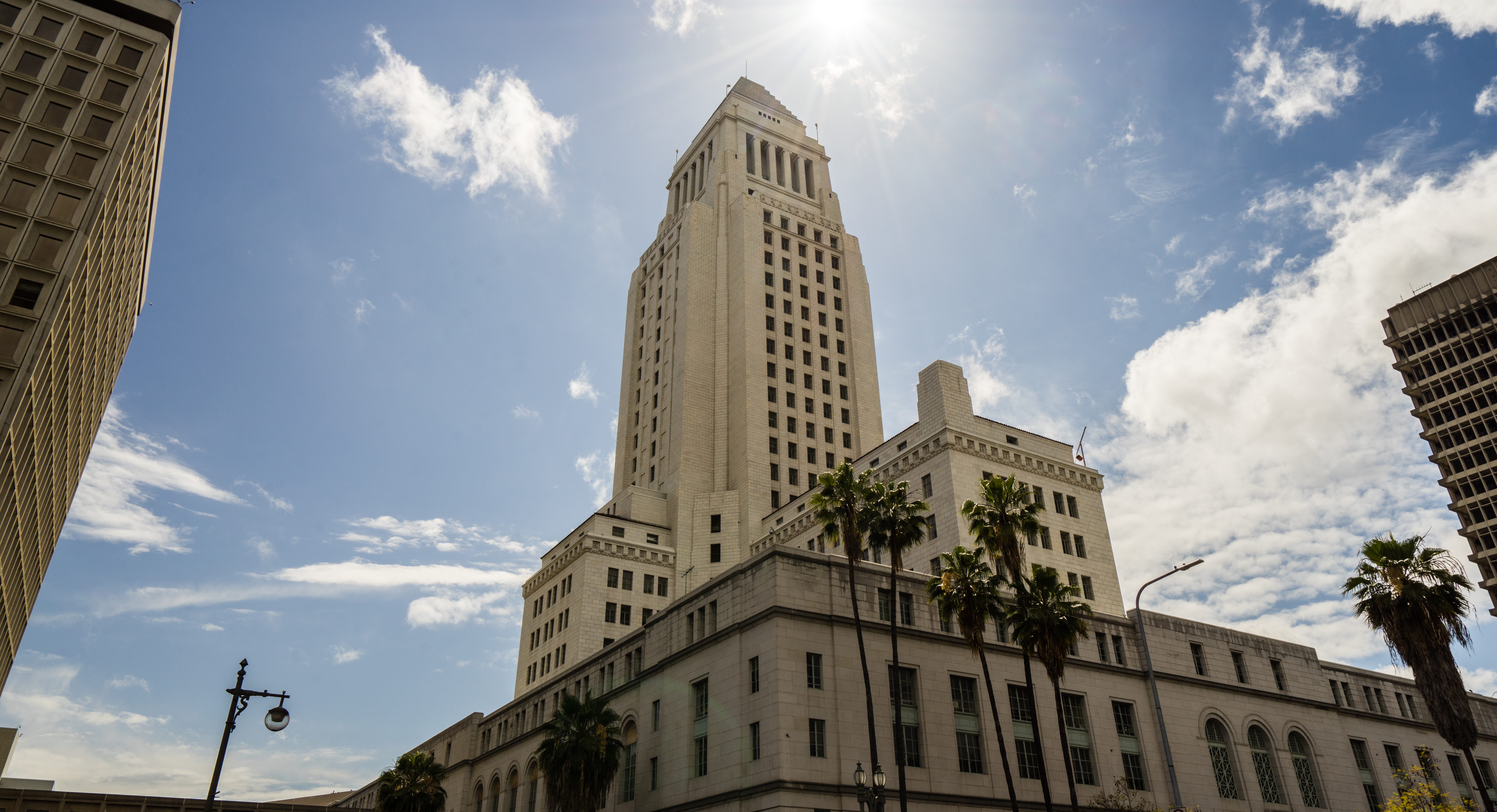
The full City Council must adopt the final borders for the 15 districts to go into effect on Jan. 1. The council is scheduled to review the committee's proposal on Tuesday.
Earlier this week, council members introduced a collective 38 amendments to the proposed map, and Martinez suggested that an alternative map be drafted by the Chief Legislative Analyst that incorporates:
Get Southern California news, weather forecasts and entertainment stories to your inbox. Sign up for NBC LA newsletters.
- Council Districts 8, 9, 10, 11 and 15 from the commission's map;
- Council Districts 2, 6, 7 and 12 from a map drafted by the Labor Council for Latin American Advancement; and
- options for addressing the remaining council districts.
The CLA's proposal focused on changes in districts 3, 4 and 5, with motions submitted by council members on Tuesday. Under the initial hybrid map, 88% of the population's distribution remained unchanged compared to the commission's proposal, but council members added other changes after the initial hybrid map was introduced.
The initial hybrid map also kept 69 neighborhood councils unified, while splitting 30 -- compared to the commission's plan which unified 60 neighborhood councils and split 32. Both proposals unified Koreatown in one council district.
The commission's recommended draft map left two districts undesignated, leaving it up to the council to decide which would be District 2 and which would be District 4. The council's hybrid map designates the two districts, and does not include the same drastic changes as the commission, which would have left either Councilwoman Nithya Raman or Councilman Paul Krekorian in an entirely new district with none of their previous constituents.
The hybrid map allows Raman to retain Los Feliz, Hollywood Hills and Sherman Oaks, and allows Krekorian to retain North Hollywood and Valley Village.
However, Raman noted that she would lose significantly more of her constituents than any other council member.
"In the hybrid map, our district continues to be the most impacted of any of the districts... CD4 loses 42%. The nearest district is 18%... almost every other district loses less than 10% of their current constituents and largely remains in their existing borders," Raman, who was elected in November 2020, said.
During the committee meeting, Raman introduced a motion aimed at developing another hybrid map and incorporating a motion submitted Tuesday to add some of Silver Lake back into her district, but the motion failed to receive a second.
Two of Raman's motions Friday were added to the hybrid map, moving:
the Hollywood blocks of Franklin Avenue to Sunset Boulevard between Vista Street and La Brea Avenue from Council District 13 to Council District 4; and
everything south of Tujunga Wash and west of Colfax Avenue from Council District 2 to Council District 4.
Several callers into the committee meeting Friday voiced support for keeping neighborhoods together, particularly Hollywood, from which a number of residents called to support the neighborhood being unified under Council District 13, as drawn in the commission's map.
One of the significant changes made by committee members Friday compared to the civilian commission's recommendations was the placement of Exposition Park, which the commission had placed in Councilman Marqueece Harris-Dawson's District 8, instead of Council District 9, where it currently is located.
Council District 9's Councilman Curren Price motioned during the committee meeting to change the hybrid map to move Exposition Park back into his district, which committee members voted 6-1 to approve. Harris-Dawson is not on the committee.
Several residents called in to oppose Price's motion to move Exposition Park, saying it would leave Harris-Dawson's predominantly Black district without any major economic assets.
The committee also moved the eastern border of Reseda to Lindley Avenue under Councilman Bob Blumenfield's district at the councilman's request, and restored the neighborhood of Stonehurst back to Councilwoman Monica Rodriguez' District 7, at the request of Council President Nury Martinez.
The City Council's changes to the map come amid calls from many -- including the civilian Los Angeles City Council Redistricting Commission -- to change the city's policy in the future to have an entirely independent body handle the redistricting process.
In the commission's recommendations submitted to the City Council, it called for an independent body to redraw the borders in 2031.
"This commission over the last year confirmed that the quasi-independent nature of the advisory commission simply does not work," Commission chairman Fred Ali told council members on Tuesday. "It's time for an independent, rather than advisory, commission to assume responsibility for redistricting for the good of our city."
The Redistricting Commission uses data from the U.S. Census to update the city's districts, with each council member representing about 260,000 people.
Ali told council members on Tuesday that 15,000 people offered comment during the process, but he noted challenges during the process, including the COVID-19 pandemic, census data being delayed by five months and a "historic undercount of certain communities" within that data.
Martinez began Tuesday's meeting saying the commission's map reflected an undercount she attributed to the Trump Administration's failed attempt to add a citizenship question to the census and the former president's confusing messaging on the census' deadline.
"Los Angeles' numbers are simply not accurate. Look around you, we did not get whiter and we did not get wealthier. This is not the Los Angeles that I see around me," Martinez said.
Noting the "massive losses" in population count in Council District 1 and 13, Martinez said, "If you go down Figueroa in Highland Park, or Sunset in Echo Park, there is a clear boom going on in these districts, yet the census would have you believe that there is a loss of population and that is an undercount."
She said she was confident the City Council will "bring forward a map that is driven by the needs of hardworking Angelenos that we all represent."
