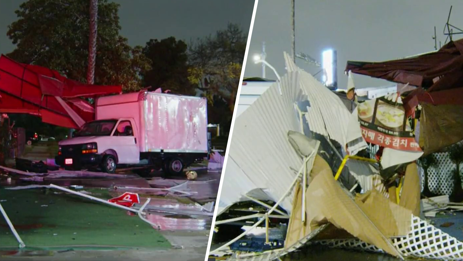
Rain soaked Southern California overnight and continued to drench the region Wednesday morning as drivers ventured out on wet morning drives throughout Los Angeles' freeways.
The first round of rain this week arrived late Tuesday and continued in Los Angeles County throughout the morning. The storm moved into Orange County and the Inland Empire early Tuesday afternoon.
"The heaviest of it will be this morning," said NBC4 forecaster Shanna Mendiola.
More wet weather arrives late Friday and into Saturday.
Here's what to know.
Storm No. 1
This one will be different from last week's holiday storm that soaked SoCal and blanketed mountains in snow. It's a warmer system fueled by a band of moisture over the Pacific.
Local
Get Los Angeles's latest local news on crime, entertainment, weather, schools, COVID, cost of living and more. Here's your go-to source for today's LA news.
"We don't have a lot of snow for this first round," said Mendiola. "The snow levels will be higher. It's a warmer system."
Last week's storm brought enough snow to force the closure of the 5 Freeway north of Los Angeles. That's not likely this time around.
Between a half-inch and an inch-and-a-half of rain is expected, although up to 3 inches are possible in the San Gabriel Mountains.
"We're looking at a very wet commute for the morning and the afternoon," said Mendiola. "It passes very quickly, giving us a dry Thursday."
The storm is fueled by an atmospheric river, a pattern that has accounted for some of California's wettest winters. An atmospheric river is a band of moisture in the sky over the Pacific. Storms can tap into that moisture, resulting in hours and, sometimes, days of steady rainfall in California.
Storm No. 2: Wet Start to the Weekend
On Friday night, another storm system will arrive. Again, it will only be around for a few hours before moving out of the on Saturday.
There's a 40-percent chance of rain Friday night into Saturday.


