


A severe thunderstorm warning was issued Tuesday for parts of the Inland Empire, as Southern Californians endured Day 5 of a heat wave.
A severe thunderstorm warning was in effect in Riverside County until 4:15 p.m. PST. Areas that would be impacted included Anza, Highway 74 between Mountain Center and Anza, Mountain Center, Highway 74 between Hemet and Mountain Center, Aguanga, Lake Hemet, Cahuilla Indian Reservation and Sage.

Around 3 p.m., there were reports of nickel-sized hail and 70 MPH wind gusts near Mountain Center in Riverside County.
The storm comes during one of the warmest spells of the year in Southern California.
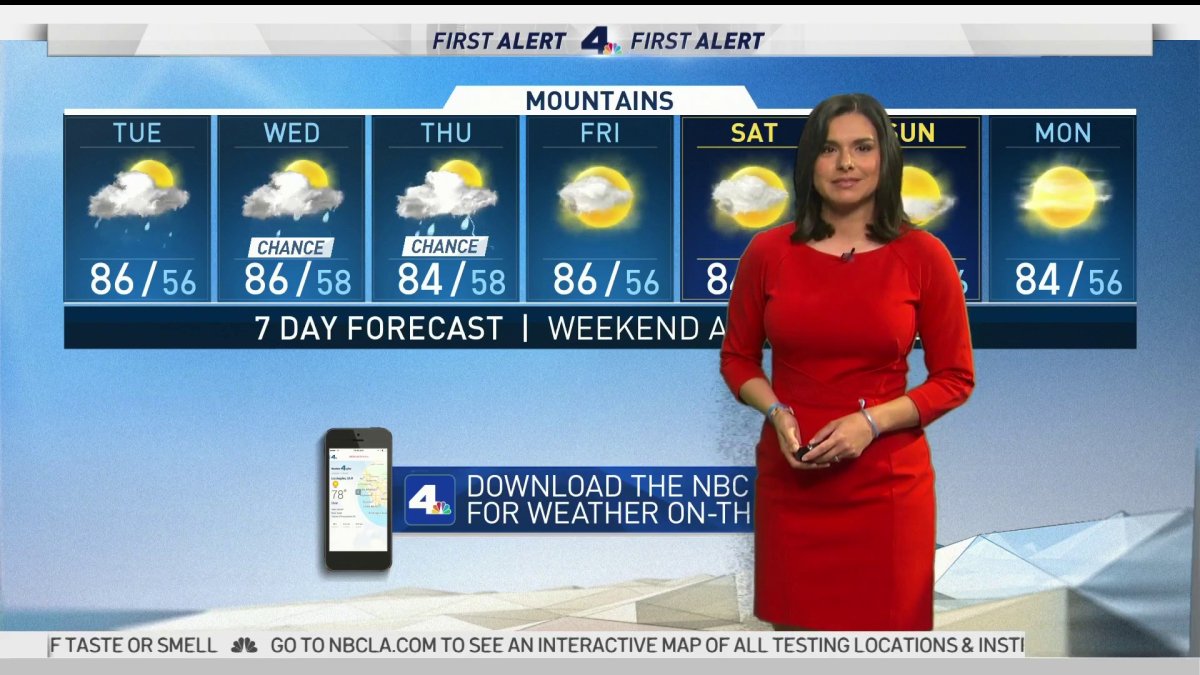
"It's going to be H-O-T," NBC4 forecaster Belen De Leon said. "We're also looking at a chance of thunderstorms in the deserts and mountains."
Temperatures are set to rise again to dangerous levels beginning Tuesday. Excessive heat warnings remained in effect through 9 p.m. Wednesday in the Antelope, Santa Clarita and San Fernando valleys.
Managers of California's power grid issued a statewide Flex Alert on Sunday, calling for voluntary electricity conservation through Wednesday and warning of rolling blackouts amid record-breaking heat. The Flex Alerts will be in effect from 3-10 p.m. each day.
The California Independent System Operator urged consumers to help by shifting energy use to morning and nighttime hours and conserving as much energy as possible during the late afternoon and evening hours.


CAL-ISO initiated some rolling blackouts Friday and Saturday for the first time since 2001, with most lasting no more than 20 minutes.
The high in downtown Los Angeles was 95 degrees Sunday -- an improvement from Saturday's high of 99 -- but that number was forecast to jump to 96 on Monday and 97 on Tuesday.
Other highs Sunday included 111 in Lancaster and Palmdale, both records for Aug. 16; 106 in Acton, 100 in Woodland Hills, 98 in Northridge, Pasadena, Saugus and Van Nuys, 97 in Chatsworth and Redondo Beach, 95 in Burbank, 94 in Culver City and at Mount Wilson, 92 at UCLA, and 91 in Hawthorne and at the Santa Monica Airport.
Sunday's other record in Los Angeles County was at Los Angeles International Airport, where the high of 93 broke the previous record of 85, set in 2000.
The previous record for Lancaster on Aug. 16 was 108, set in 2015. The previous record for Palmdale on Aug. 16 was 107, set in 1994.
Cooling centers opened in Los Angeles and other spots in Los Angeles County to give the public a place to escape the heat.
Due to COVID-19 social distancing requirements, capacity is limited and people should call ahead to check space availability, according to the Los Angeles Department of Recreation and Parks. Information on the county's cooling centers as well as heat-related illnesses and prevention is at publichealth.lacounty.gov.
The heat was making life tough for firefighters battling two wildfires in Los Angeles County and another in Riverside County. The Lake Fire in the Lake Hughes area had burned 18,361 acres and was 12% contained Sunday evening, while the Ranch 2 Fire in Azusa had burned 2,256 acres and was 7% contained.
Elevated critical fire weather is expected through Monday, in part because of very dry vegetation providing fuel for wildfires. Another factor is the fact that surface winds coming from the north will be weak, keeping the ground warm. But no red flag warnings have been issued.
Unhealthy air quality was forecast for Monday by the South Coast Air Quality Management District in the East San Fernando Valley; Pomona/Walnut Valley; Santa Clarita Valley; San Gabriel Mountains; and East San Gabriel Valley.
Tuesday was expected to be the worst day of the entire wave, with highs expected to reach 110 in Woodland Hills, 109 in Lancaster and Palmdale, 108 in Saugus, 102 in Pasadena and 100 in San Gabriel. More dangerously high temperatures are forecast for Wednesday and Thursday, before the heat wave is finally expected to ease up on Friday.
Below, you'll find a list of tips to stay cool.
- Stay hydrated! The more hydrated you are, the more effective your body will be at keeping you cool. Drink water – not fizzy and alcoholic drinks, which will dehydrate you.
- Avoid exercise in the middle of the day. If you need to exercise outside, do it early in the morning when the temperature is lower.
- Wear lightweight, light-colored natural fabrics like cotton and linen, as these will help your skin breathe and let your sweat evaporate, cooling you down.
- We sweat around half a pint daily from both feet (and we wonder why they stink!), so if you can, wear sandals or flip-flops to let your foot sweat evaporate.
- Use a fan to circulate air from open windows. Keep your blinds or curtains drawn during the day, so your home doesn’t heat up while you’re out. Turn off big appliances and help prevent brown-outs!
- To cool down quickly, run your wrists under a cold tap or keep a water spray in the fridge for a quick cooling spritz to the face.
- Keep some wet wipes in your bag so you can freshen up your hands, face and neck if you get hot or clammy.
- Want to stay cool at night? One way is to wash your feet in cool water or take a cold shower before bedtime – especially if you get hot during the night or have hot sweats.
- To cool down in bed, try keeping your pillowcase or sheets in a plastic bag in the fridge during the day. Put them back on the bed at night. The fabric will stay cool when you’re trying to get to sleep.
- And bring your pets in and make sure they have shade and water.
- Be prepared for power outages and know where cooling centers are!

