
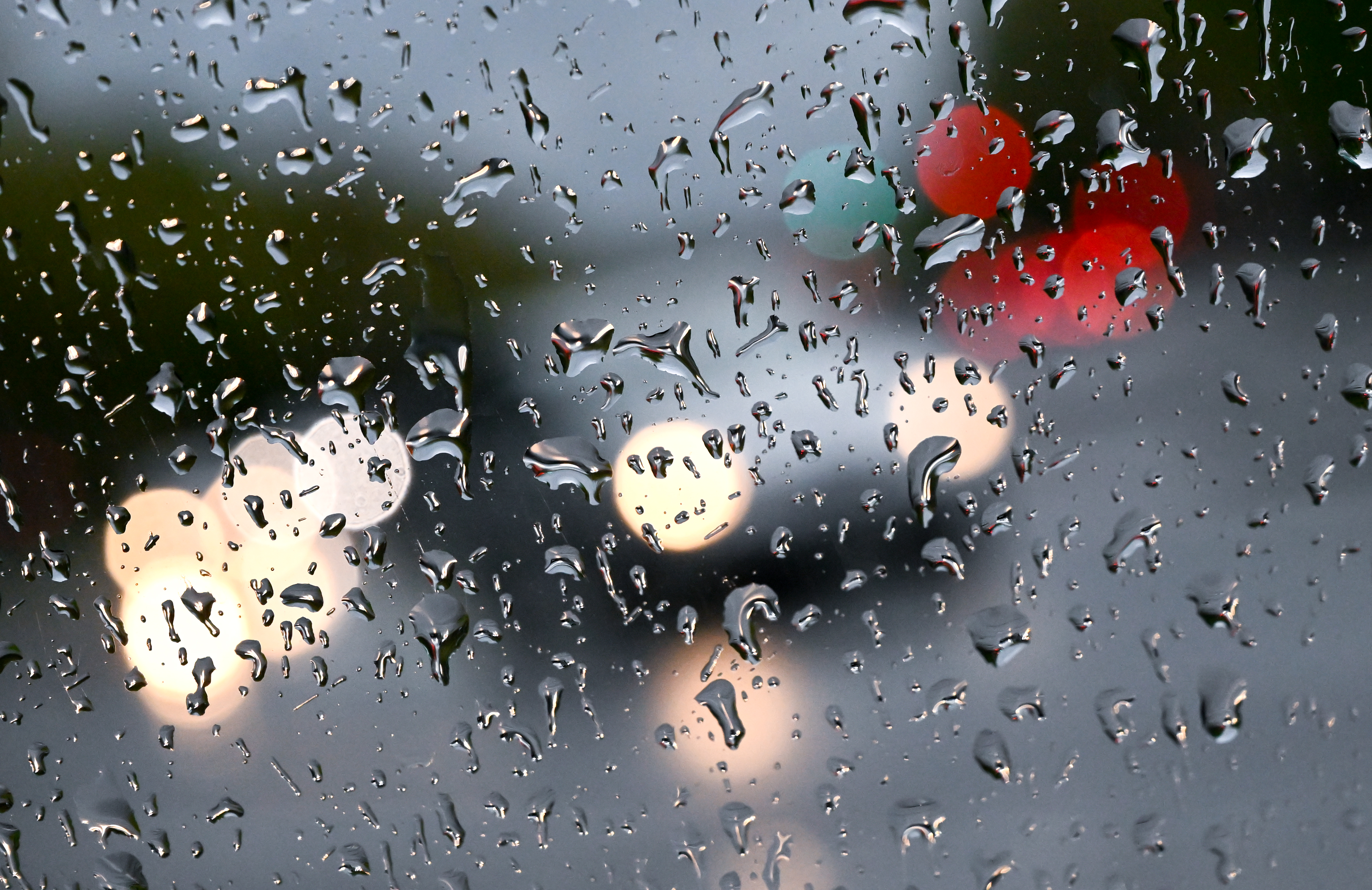
Southern California residents already know from the impacts on traffic and the rain falling in the San Gabriel Valley overnight that the region is going to see some wet weather this week.
While most people in the area can focus on safe driving practices and making sure their sprinklers are turned off, residents who live near recent burn scars are preparing for possible debris flows that could take place after the oncoming storm.
Homeowners there are bracing for possible flooding and mudslides, especially in Monrovia on Oak Lane Drive, where they've already seen how big a mess can be left behind once they have a powerful storm.
K-rails could be seen lining the streets on the hillside there, and about 10 minutes away on Mel Canyon Road in Duarte.
Get Southern California news, weather forecasts and entertainment stories to your inbox. Sign up for NBC LA newsletters.
That community spent the weekend preparing for this week's storm, with many of them laying out sandbags to accompany the k-rails the city of Duarte set up.
Got storm photos you'd like to share? Send them to us here!
One resident was putting pipes and drains together in his front yard to divert the water that would otherwise pool on his lawn.
"I'm not necessarily nervous, but what I am is I'm getting prepared," said homeowner Juan Lopez-Driotis. "So I'm creating a ditch, and digging it about three or four feet underground, and creating some piping, so that way the water will go into the lawn."
A powerful storm that struck the neighborhood in 2017 created layers and layers of mud, which residents then had to dig themselves out of.
The same neighborhoods sit right below the burn scar for the Fish Fire. That wildfire stripped a lot of vegetation from the hillside, making the soil vulnerable whenever rain falls.
Residents have not yet been told to evacuate from the area -- as they've had to do in years past -- but with flood watches issued near recent burn scars, many of them have included evacuation plans with their sandbags, k-rails and other storm preparations.
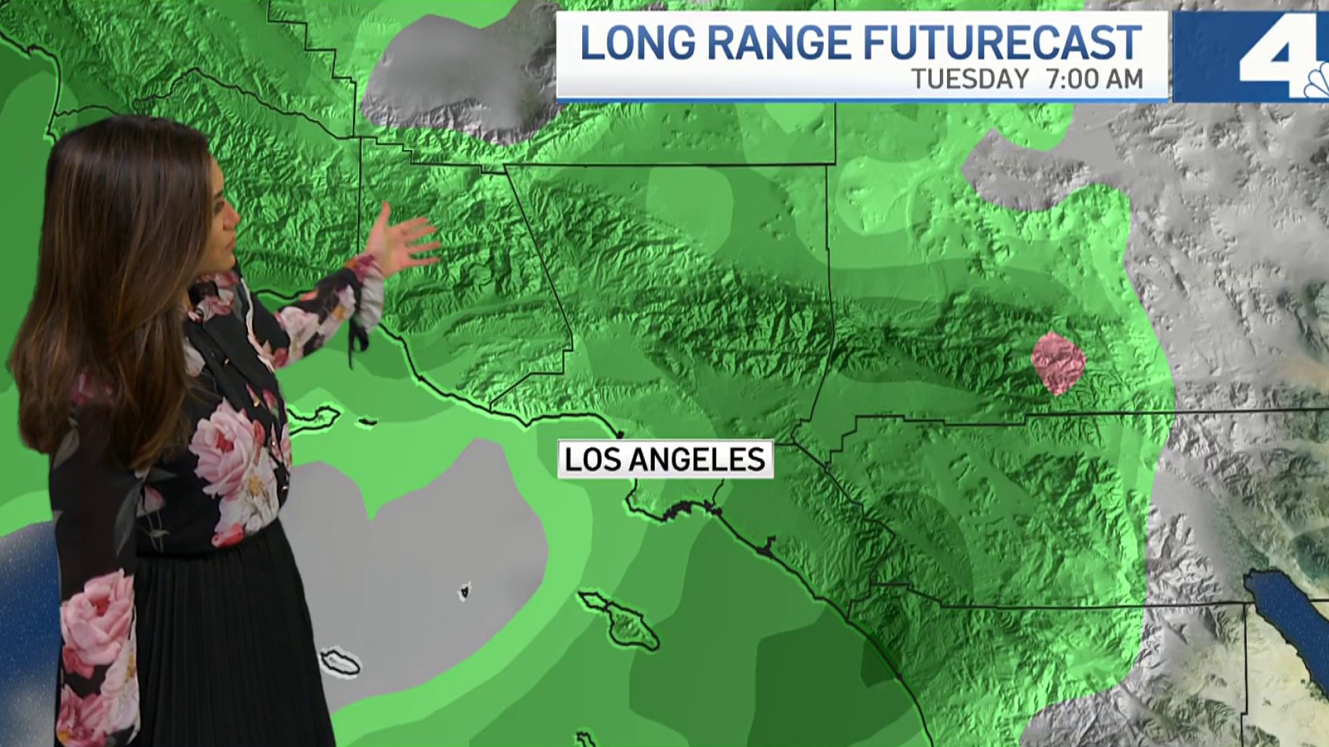
What to Expect from This Week's Storm in SoCal
The rainfall first arrived after midnight on Sunday heading into Monday, with many areas of Los Angeles and Orange County set to see significant rainfall by Monday morning. Wet conditions will continue throughout the day and into Election Day Tuesday, when the greatest chance of rain will occur.
"We're getting some beneficial rain," said forecaster Belen De Leon. "The problem is we're getting too much of it at once."
The huge storm is centered over the Pacific Northwest, and the tropical moisture moving ahead of it is why rain started falling over the weekend. An atmospheric river will bring heaver rain as the week continues.
Once the storm rolls out, rainfall totals between 1" and 2" are expected in the coasts and valleys, and between 2" and 5" in the foothills and mountains.
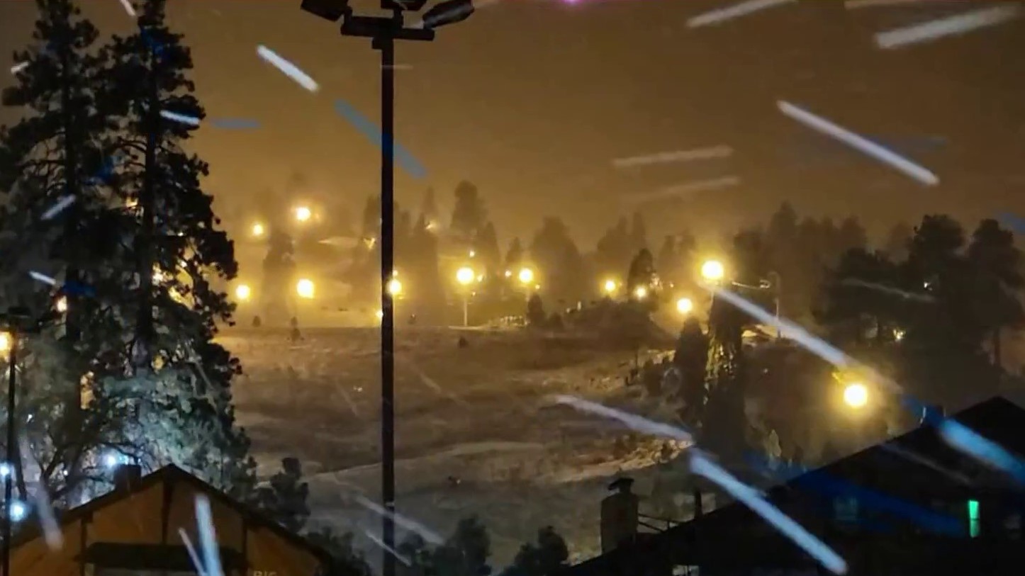
Above 6,000 feet, the region could see between 6" and 12" of snow. Up to 2 feet of snow could fall in a few locations.
A high wind watch is in place for the deserts, and a wind advisory has been issued for the mountains. The winds will begin Tuesday morning and continue into Tuesday evening.
Winds could reach between 25 and 35 mph, with gusts possibly reaching 60 to 70 mph. Drivers should be careful, especially as the winds mix with the rain and snow.
The deserts will see the strongest winds on Monday, before gusts pick up across the region and especially in Big Bear.
A winter storm watch begins Monday night, continuing into Wednesday night, with colder temperatures lowering the snow level to about 4,000 feet on Tuesday night. Icy conditions are possible.
By Thursday, the weather will clear up, though temperatures will remain colder.
Evacuation Warning for Parts of SoCal
An evacuation warning is set to go into effect Tuesday at 4 a.m. for Silverado Canyon, Williams Canyon and Modjeska in the Bond Fire burn area due to possible debris flows.
A flash flood watch is in effect from Tuesday at 4 a.m. to Wednesday morning for the burn scar area.
About 25 homes in the Fish Fire area in Duarte will be under mandatory evacuation orders Monday at 11 p.m. Streets were expected to be closed in the area through Tuesday, and possibly through Wednesday.
About the California Drought
The three-day storm arrives with nearly all of California in moderate drought and a swath of the agricultural Central Valley in exceptional drought, the worst of the weekly U.S. Drought Monitor's four drought categories. Most of Los Angeles County is in severe drought with extreme drought conditions in the northwest part of the county.
California has spent most of the last 15 years in drought conditions. The current dry spell included one of the driest late winters on record.
The state's normal wet season runs from late fall to the end of winter, but dismal precipitation left about 95 percent of California in severe drought at the start of spring with conditions worsening in the hot and dry summer months.
The drought has worsened floods, mudslides and debris flows, as moisture evaporating from land and water is held in the atmosphere and then redeposited by intense rains. The dry earth means that, rather than water getting absorbed into the ground and mitigating the drought, some of the heavy rainfall runs off the parched landscape and releases mudslides.
