What to Know
- Another storm is set to bring rain to Southern California by midweek.
- Rain and snow are possible into Thursday.
- New Year's Day was shaping up to be dry but cool.
More rain and snow are in the forecast during the final week of 2021.
The wet and unsettled weather pattern will bring rain and snow midweek. Temperatures will remain below average.
Conditions dry out for Friday and through the holiday weekend.
Get Southern California news, weather forecasts and entertainment stories to your inbox. Sign up for NBC LA newsletters.
Some parts of the Southland, meanwhile, will be dealing with cold weather. A frost advisory was in effect early Tuesday in the Santa Clarita and San Fernando Valleys and the Santa Monica Mountains Recreational Area. Temperatures as low as 32 degrees were expected.
After showers on Monday, a stronger storm system is expected to arrive on Wednesday, but rainfall amounts are still uncertain. That system is expected to continue into Thursday, possibly into Friday, bringing more snow to mountain areas, and possibly bringing accumulating snowfall to the Antelope Valley.
New Year's Day was shaping up to be dry but cool across the region.
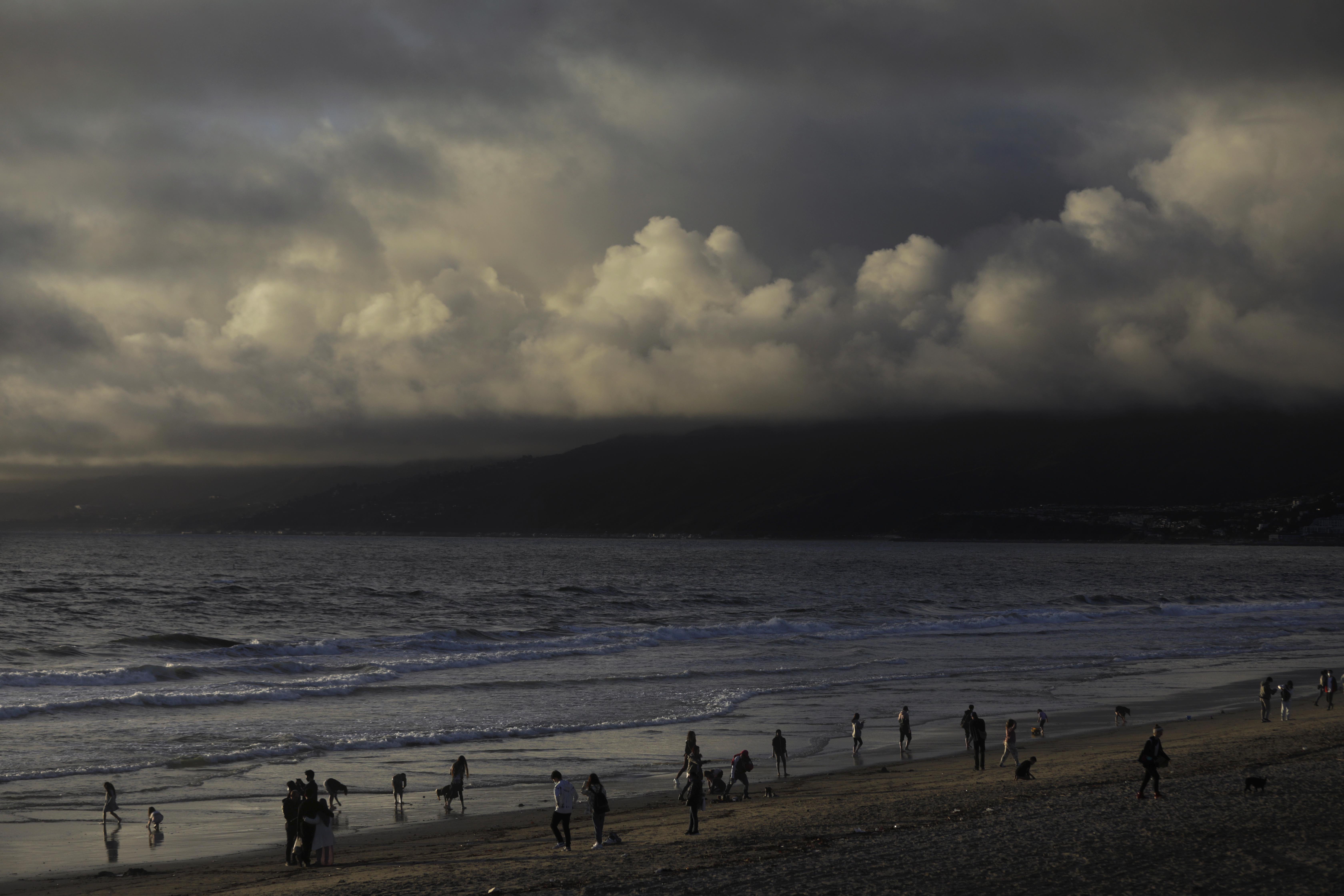
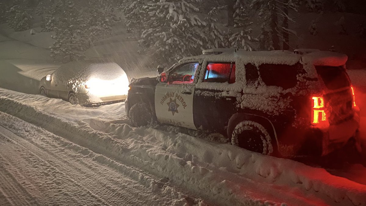
Photos: Holiday Storm Images From Around California
Rain, Snow and California's Drought
n October, the National Oceanic and Atmospheric Administration announced that a the Pacific Ocean was showing signs of a new La Nina, the flip side of the El Nino ocean-warming pattern, that tends to cause changes in weather worldwide.
Forecasters said much of California would have a 33% to 50% chance of below-normal precipitation, while only the state's far northern tier had equal chances of above- or below-normal precipitation.
But the storm track has trended farther south than is usual during La Ninas. After a series of mid-December tempests, California's overall snow-water equivalent — a measurement of how much water is in the snowpack — jumped from 19% of normal to date on Dec. 10 to 76% of normal on Dec. 17, according to the latest U.S. Seasonal Drought Outlook.
While the current wet trend is positive, it is too early to know if it will last through January and February. The snowpack normally doesn't reach its maximum until April and last spring there was minimal runoff because much of the water was absorbed by the drought-parched landscape.