
What to Know
- The latest winter storm is moving out, but not before dropping more snow in the mountains.
- The 5 Freeway north of LA was closed early Wednesday due to snow and ice.
- Days of rain triggered a landslide in Beverly Crest, closing part of Mulholland Drive.
The latest in a conveyor belt of winter storms brought snow, wind and hours of overnight rain to Southern California.
The rain will taper off Wednesday, but snow will continue to fall in the mountains where a winter storm warning is in effect. A line of storms that began last week have led to power outages and school closures in mountain communities.
A winter storm warning is in effect through 10 p.m. Wednesday in the Los Angeles County mountains. Wind advisories are in effect in the mountains through 6 p.m.
Get Southern California news, weather forecasts and entertainment stories to your inbox. Sign up for NBC LA newsletters.
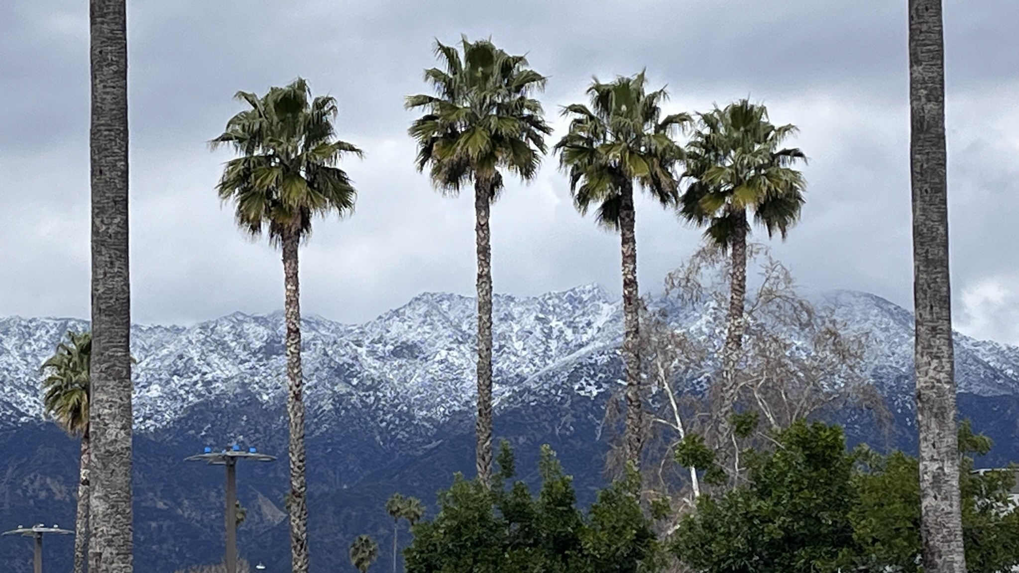
Mountain communities can expect 8 to 16 inches with localized amounts reach 24 inches. The highest totals will be in the eastern San Gabriel mountains.
On Mount Baldy in the San Gabriel Mountains, there were reports of avalanches. The Mount Baldy Fire Department said avalanche danger is a significant concern following more overnight snow.
The Grapevine section of the 5 Freeway was closed again Wednesday morning due to snow and poor visibility.
In San Bernardino County, authorities planned to escort drivers up the mountain on the 18 Freeway, but said conditions were too hazardous Wednesday morning. San Bernardino County issued a local emergency due to the unrelenting snow.
Gusts up to 65 mph are possible.
A winter weather advisory is in effect for parts of the desert and Inland Empire from 1 p.m. to 6 p.m. Snow levels could drop to 2,000 feet.
Wednesday Forecast
The most active part of the latest in a series of three storms arrived late Tuesday and moved across the region into Wednesday.
By the time the storm series ends, most valley and coastal areas would see between 0.75 to 1.25 inches of rain, with some mountain areas receiving up to 3 inches. That's in addition to last week's historic rainfall.
Rain will diminish Wednesday with a few scattered afternoon showers.
"After today it's going to be much calmer," said NBC4 forecaster Belen De Leon. "The heaviest rain has come and gone over LA and Ventura county."
Gusty southwest to west winds are possible for periods of times, especially across the interior portions of the area and mountain areas over the next several days.
"Tomorrow is going to be a very cold start, but at least we'll have the sunshine," said De Leon.
Steady rain and periods of downpours triggered mud flows and landslides in some neighborhoods. A stretch of Mulholland Drive is closed Wednesday morning after part of a hillside below a home collapsed onto the canyon road. Homes in La Cañada Flintridge and Beverly Crest were damaged by mud flow and debris resulting in evacuations of some residents.
Another storm system moves into Southern California this weekend, but most of the rainfall will remain to the north.
Historic LA Rainfall
The weekend marked the first time downtown Los Angeles received at least 2 inches of rain on consecutive calendar days since Feb. 28 and March 1 of 1978. Friday was the wettest February day at Burbank Airport since records began there in 1939, beating the previous record of 4.50 inches set on Feb. 8, 1993.
Southern California was beginning to dry out Sunday from two days of consistent rain on Friday and Saturday. The powerful winter storm dumped 10.79 inches of rain on Woodland Hills through Sunday morning, 9.29 inches in La Cañada Flintridge, 8.38 inches in Newhall, 8.11 inches in Pasadena, 6.88 inches in Burbank, 6.76 inches in Bel Air and 4.49 inches in downtown Los Angeles, according to the NWS.
Mountain High received 93 inches of snow, and 40 inches dropped on Mount Wilson.
