
Showers popped up Thursday morning in parts of Southern California as the region remained in the grip of a week-long heat wave that's finally expected to weaken.
The rain is courtesy of tropical storm Kay as it moves up the coast of Baja California. The hurricane won't make landfall, but will cause significant rain and gusty winds in the coming days.
"We're already starting to see the increase in mid-level moisture," NBC4 forecaster Belen De Leon said. "That's the reason why a few showers and even thunderstorms are popping up on our First Alert radar network.
"The heaviest rain doesn't arrive until Friday, and it lasts through the weekend because of Kay."
Get Southern California news, weather forecasts and entertainment stories to your inbox. Sign up for NBC LA newsletters.
The weakening tropical cyclone is expected to stall offshore, but still produce chances of thunderstorms and showers Friday into Saturday. Pop-up showers and thunderstorms are possible Thursday in mountains and deserts, but the main weather impacts from Kay will happen overnight into Friday and then into Saturday.
"We're going to start to see that rain develop for the second half of the day Friday and really pick up into Saturday," said De Leon.
Kay made landfall Thursday afternoon on a sparsely populated peninsula on Mexico’s Pacific coast. The eye of the storm came ashore near Bahia Asuncion in Baja California Sur state.
Kay was downgraded from Category 2 to 1 Friday with gusts up to 85 mph. The storm was moving north-northwest away from the Baja California coast. The storm will continue moving up the coast, then turn southwest as it reaches Southern California.
"It's not expected to make a direct impact, but indirectly we're going to feel the impacts," De Leon said.
A flood watch goes into effect Friday evening for parts of Riverside and San Bernardino counties and continues into Saturday night.
Up to 2 inches are rain are possible for mountain communities.
Surf could reach 4 to 7 feet for south-facing beaches. Coastal flooding is possible.
The chance for rain starts to diminish Sunday, but showers might linger into Monday.

When will the Southern California heat wave end?
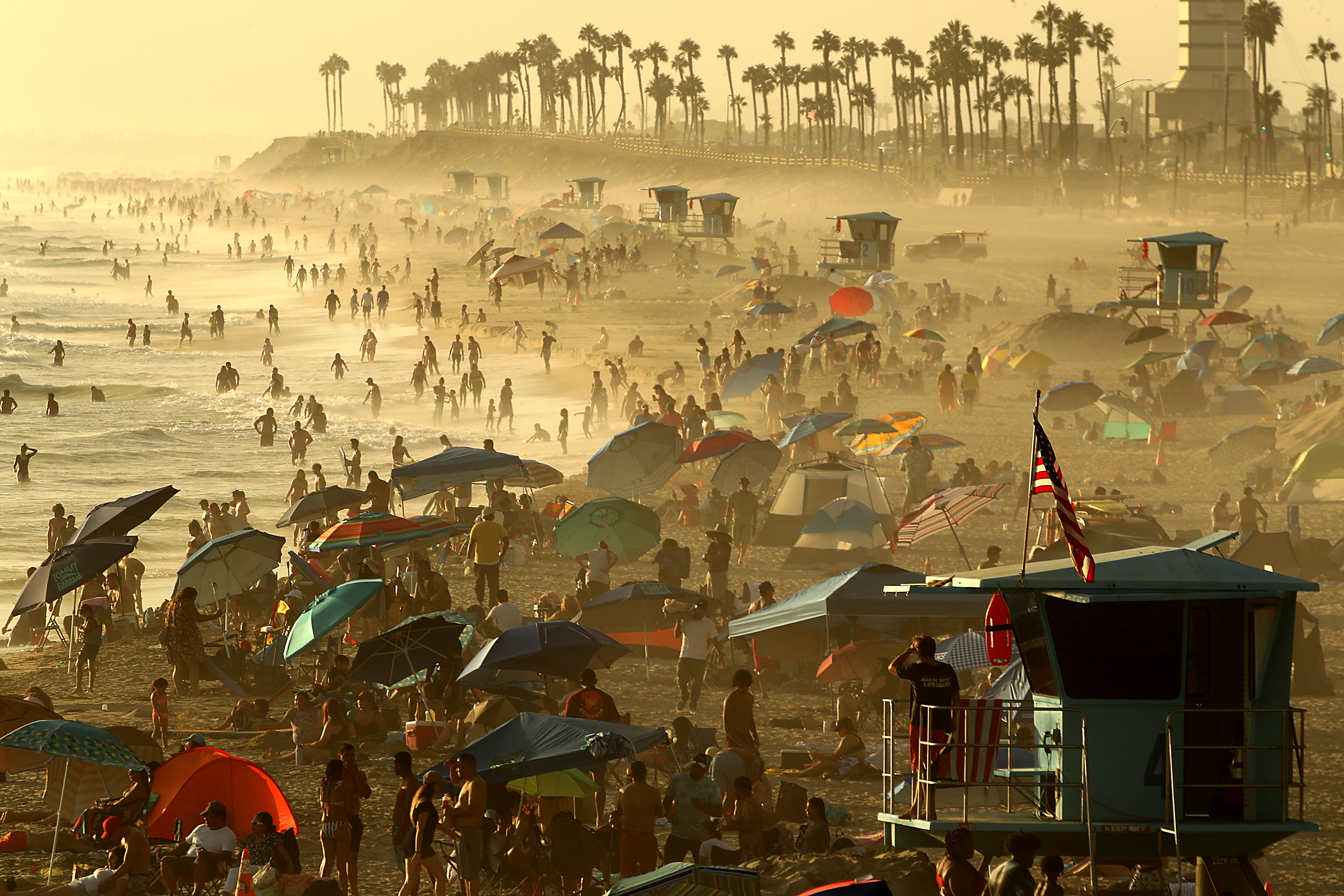
The changing weather pattern won't bring much relief from the heat. Temperatures will remain in the 90s and triple-digits Thursday before only a slight cooldown this weekend.
Excessive heat warnings remain in effect for much of Southern California. A high wind watch is in effect for parts of San Bernardino and Riverside counties.
Southern California has seen temperatures soar above 100 degrees every day since Wednesday of last week. A record high temperature was reported in Sandberg on Wednesday. It was 99, breaking the record of 97 set in 2018.
The temperature reached 103 in Anaheim on Wednesday, breaking a record high of 100 for the day set in 2011.
A number of high minimum temperatures were set throughout Orange County on Wednesday. The minimum temperature was 75 in Anaheim, tying a mark set in 2020. It was 73 in Santa Ana, breaking the mark of 71 set in 2020.
A Flex Alert goes into effect Thursday evening, marking another request for Californians to conserve power during the extended heat wave. So far, the state's power grid operator has not resorted to rotating power outages.
Temperatures will remain near or slightly below normal next week.
Excessive heat warnings will be in effect through 8 p.m. Friday for the inland coastal area including downtown Los Angeles, the Santa Monica Mountains and the San Gabriel, San Fernando and Santa Clarita valleys. The warnings are in place until 8 p.m. Thursday in the Los Angeles County mountains and Antelope Valley. Los Angeles County beaches and the Malibu coast will be under excessive heat warnings only on Friday, from 10 a.m. to 8 p.m.
The excessive heat warning was extended until at least 8 p.m. Friday for Orange County coastal and inland areas, including valleys in San Bernardino and Riverside, and the Santa Ana mountains and foothills.
