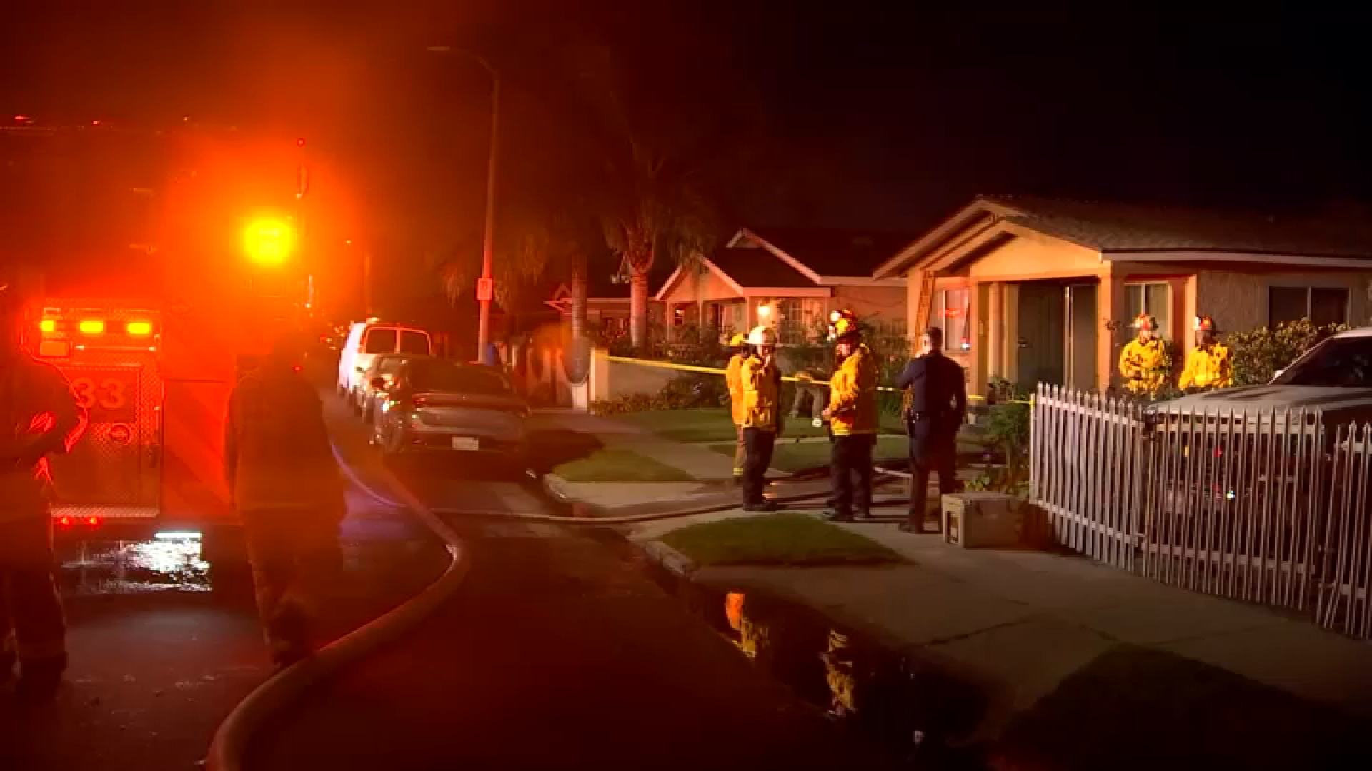
How LAFD Determines Wildfire Danger in Los Angeles
•
The LA City Fire Department uses a brush burning index to determine the level of fire danger each day. Here is how they get that number.
The Los Angeles Fire Department uses a Burning Index rating to determine the level of fire danger/threat to the area. They use a scale to assess the threat from 0 (low) to 162 and above (extreme).
The BI forecast for Wednesday into Thursday is 296 -- the highest number the fire chief has ever seen.
Below is an explanation of the Burning Index from LAFD:
How are decisions made by the Los Angeles Fire Department to strategically place resources on days of high wildfire hazard? The answer is science.
The LAFD utilizes a Burning Index (BI) to determine the Department’s commitment to pre-deploy apparatus and personnel. A number of procedures occur each day to determine the BI in Los Angeles.
First, dead vegetation fuel moisture readings are taken in the early afternoon at Fire Station 108 on Mulholland Drive near Coldwater Canyon, and communicated to LAFD's North Division Headquarters located at Fire Station 88 in the San Fernando Valley.
Second, a group of federal meteorologists at the Southern California Geographic Area Coordination Center (SCGACC) in Riverside, California provide a "fire weather forecast" consisting of a predicted high temperature, low relative humidity, wind speed and direction for the next day.
Third, historical data (high/low temperature, high/low relative humidity and hours of rainfall in the last 24 hours) is mixed into the brew.
The California Department of Forestry and Fire Protection uses a color-coded wind index in its forecasts. The forecast for Thursday, Dec. 7, 2017, is purple, the most extreme conditions, which has never been used before, director Ken Pimlott said.
Local
Get Los Angeles's latest local news on crime, entertainment, weather, schools, COVID, cost of living and more. Here's your go-to source for today's LA news.
All of this information is fed into equations that make up the National Fire Danger Rating System (NFDRS). The result is the BI. Theoretically, fire danger is elevated when BI’s reach high values. The daily BI level is stated as a numerical value:
BI 0 to 37 = Low
BI 38 to 47 = Moderate
BI 48 to 110 = High
BI 111 to 161 = Very High
BI 162 and above = Extreme
Ventura County Fire Department
Firefighters set backfires during a respite from strong wind gusts and they try to increase containment Dec. 19, 2017 in the Thomas fire zone.
Getty Images
A Hot Shot crew climbs a hill while cutting a line among homes at the Thomas Fire on December 16, 2017 in Montecito, California. The National Weather Service has issued red flag warnings of dangerous fire weather in Southern California for the duration of the weekend. Prior to the weekend, Los Angeles and Ventura counties had 12 consecutive days of red flag fire warnings, the longest sustained period of fire weather warnings on record. The Thomas Fire is currently the fourth largest California fire since records began in 1932, growing to 400 square miles and destroying more than 1,000 structures since it began on December 4. (Photo by David McNew/Getty Images)
KNBC-TV
The Thomas Fire burned hundreds of thousands of acres by Monday, Dec. 11, 2017, and was only 15 percent contained.
David McNew/Getty Images
SUNLAND, CA - DECEMBER 05: A resident hoses a burning palm tree during the Creek Fire on December 5, 2017 in Sunland, California. Strong Santa Ana winds are rapidly pushing multiple wildfires across the region, expanding across tens of thousands of acres and destroying hundreds of homes and structures.
Mario Tama/Getty Images
LOS ANGELES, CA - DECEMBER 05: The Creek Fire burns on a hillside in the Shadow Hills neighborhood on December 5, 2017 in Los Angeles, California. Strong Santa Ana winds are rapidly pushing multiple wildfires across the region, expanding across tens of thousands of acres and destroying hundreds of homes and structures.
David McNew/Getty Images
SUNLAND, CA - DECEMBER 05: Strong wind blows embers across the smoldering ruins of a house at the Creek Fire on December 5, 2017 in Sunland, California. Strong Santa Ana winds are rapidly pushing multiple wildfires across the region, expanding across tens of thousands of acres and destroying hundreds of homes and structures.
Mario Tama/Getty Images
LOS ANGELES, CA - DECEMBER 05: People view the Creek Fire burn on a hillside in the Shadow Hills neighborhood on December 5, 2017 in Los Angeles, California. Strong Santa Ana winds are rapidly pushing multiple wildfires across the region, expanding across tens of thousands of acres and destroying hundreds of homes and structures.
Sandy Huffaker/AFP/Getty Images
Firefighters battle the Lilac fire in Bonsall, Calif., on Dec. 7, 2017. Local emergency officials warned of powerful winds that will feed wildfires raging in Los Angeles, threatening multi-million dollar mansions with blazes that have already forced more than 200,000 people to flee.
Sandy Huffaker/AFP/Getty Images
Volunteers rescue horses at a stable during the Lilac Fire in Bonsall, Calif. on Dec. 7, 2017. Several hundred horses and large animals were evacuated. Some prized racehorses kept at training stables and barns were set loose to run away from the flames.
Sandy Huffaker/AFP/Getty Images
Firefighters walk to the fire line at the Lilac Fire in Bonsall, Calif., on Dec. 7, 2017. The fire sparked Thursday morning, prompting mandatory evacuations of homes and schools nearby.
Gina Ferazzi/LA Times via Getty Images
A plane drops fire retardant near a home to stop the wind driven Liberty Fire near Los Alamos Road on Dec. 7, 2017 in Murrieta, California. A mandatory evacuation order is underway as the wildfire, fed by strong Santa Ana winds, burned 300 acres.
Firefighters make sure the flames, that destroyed this house during the Skirball fire, are completely put out. The fire burned next to the 405 Freeway and near the Getty Center. It was reported early morning on Wednesday, Dec. 6, 2017.
KNBC
Clouds of smoke from the Thomas Fire that burned in Ventura County could be seen from miles away on Friday, Dec. 8, 2017. The fire had burned 132,000 acres.
Toni Guinyard
Clear skies were slowly being over taken by the smoke from the Ventura County Thomas Fire on Friday, Dec. 8, 2017. The fire had burned 132,000 acres and 401 structures were destroyed.
Mario Tama/Getty Images
VENTURA, CA - DECEMBER 07: Firefighters monitor a section of the Thomas Fire along the 101 freeway on December 7, 2017 north of Ventura, California. The firefighters occasionally used a flare device to burn-off brush close to the roadside. Strong Santa Ana winds are rapidly pushing multiple wildfires across the region, expanding across tens of thousands of acres and destroying hundreds of homes and structures.
Ryan Cullom/Ventura County Fire Department via AP
Firefighters work to put out a blaze burning homes early Tuesday, Dec. 5, 2017, in Ventura, Calif. Authorities said the blaze, dubbed the Thomas fire, broke out Monday and grew wildly in the hours that followed, consuming vegetation that hasn't burned in decades.
Mario Tama/Getty Images
VENTURA, CA - DECEMBER 05: Firefighters work in front of a home destroyed by the Thomas Fire on December 5, 2017 in Ventura, California. Around 45,000 acres have burned in the fire forcing thousands to evacuate and destroying 150 structures.
Photo by Mario Tama/Getty Images
VENTURA, CA - DECEMBER 05: A firefighter sprays water at the remains of an apartment complex destroyed by the Thomas Fire on December 5, 2017 in Ventura, California. Around 45,000 acres have burned in the fire forcing thousands to evacuate and destroying 150 structures.
Mario Tama/Getty Images
VENTURA, CA - DECEMBER 05: A firefighter works while battling flames from the Thomas Fire in a residential neighborhood on December 5, 2017 in Ventura, California. Around 45,000 acres have burned with 150 structures destroyed in the fire, forcing thousands to evacuate.
Ringo Chiu/AFP/Getty Images
Firefighters battle a wildfire as it burns along a hillside near homes in Santa Paula, California, on Dec. 5, 2017.nFast-moving, wind-fueled brush fire exploded to about 10,000 acres in Ventura County Monday night, forcing hundreds of people to flee their homes, officials said.
Ringo Chiu/AFP/Getty Images
A wildfire burns along a hillside near Highway 126 in Santa Paula, California, on Dec. 5, 2017.nFast-moving, wind-fueled brush fire exploded to about 10,000 acres in Ventura County Monday night, forcing hundreds of people to flee their homes, officials said.
A fire began Thursday Oct. 26, 2017 in Cleveland National Forest near Wildomar.
Getty Images
An out of control wildfire approaches Gundlach Bundschu winery on October 9, 2017 in Sonoma, California.
Getty Images
A firefighting Coulson C-130 air tanker drops fire retardant near a house during the Oakmont Fire on October 15, 2017 near Santa Rosa, California.
Getty Images
A firefighter uses a drip torch to set a backfire to protect houses in Adobe Canyon during the Nuns Fire on October 15, 2017 near Santa Rosa, California. At least 40 people were killed while many are still missing, and at least 5,700 buildings have been destroyed since wildfires broke out a week ago. (Photo by David McNew/Getty Images)
Water-dropping helicopters attacked a 30-acre brush fire Tuesday Oct. 17, 2017 on Mount Wilson in the mountains north of Los Angeles.
Jonathan Lloyd, KNBC-TV
A 10-acre brush fire broke out Sunday Oct. 15, 2017 during a sports car race at Mazda Raceway Laguna Seca.
KNBC-TV
A home burns on East Banner Ridge road during an Anaheim Hills brush fire Monday Oct. 9, 2017.
NBC Bay Area
Wildfires, driven by strong winds, broke out Oct. 8, 2017 in Napa and Sonoma counties, forcing evacuations in rural neighborhoods.
AP
Rucker Road is covered in fire retardant as crews from multiple agencies fight a wildfire in the Mission Hills area of Lompoc, Calif., Friday, Sept. 29, 2017. A trio of wildfires raced through the hills of California's Central Coast on Friday, threatening many homes as flames tore through tinder-dry brush, authorities said. (Len Wood/The Santa Maria Times via AP)
KNBC-TV
A view of the Canyon fire Tuesday Sept. 26, 2017 in Corona. The fire grew to 2,000 acres after starting a day earlier off the 91 Freeway.
CAL FIRE
A firefighter on the scene of the Palmer fire Sept. 5, 2017 in Riverside County.
CAL FIRE
Flames light up a hillside as the Pier fire burns Sept. 4, 2017 in Tulare County.
Six Rivers National Forest
Smoke along Highway 96, one of the areas affected by the Eclipse Complex Sept. 3, 2017.
Klamath National Forest
Firefighters in Klamath National Forest, one of the areas affected by the Eclipse Complex fires in Northern California Sept. 3, 2017.
CAL FIRE
Smoke from the Helena fire can be seen Sept. 3, 2017 in the Shasta-Trinity National Forest.
CAL FIRE/Riverside County Fire Department
The Palmer fire, which scorched at least 3,000 acres and triggered evacuations in the Inland Empire, was sparked by fireworks on Saturday, Sept. 2, 2017.
Ryan Astorga via AP
In this Friday, Sept. 1, 2017 photo courtesy of Ryan Astorga shows La Tuna Fire burning, left, and the Hollywood sign seen at sunset from Los Angeles. Several hundred firefighters worked to contain a blaze that chewed through brush-covered mountains, prompting evacuation orders for homes in Los Angeles, Burbank and Glendale.
Six Rivers National Forest
Smoke from Eclipse Complex, several fires burning in Northern California, drifts from a scorched area near Six Rivers National Forest Aug. 29, 2017.
Sequoia National Forest
Smoke from the Pier Fire in Northern California wafts over the region Aug. 29, 2017.
Yosemite National Park
A wildfire Tuesday Aug. 28, 2017 closed Highway 41 near Yosemite National Park.
NBC Bay Area
A wildfire burns near Lake Berryessa in Napa County. (Aug. 11, 2017)
Kenny Holmes
Firefighters battled a wildfire near the University of California, Riverside that came dangerously close to homes, prompting an evacuation order, on Sunday, Aug. 13, 2017.
NewsChopper 4
Firefighters battled a wildfire near the University of California, Riverside that came dangerously close to homes, prompting an evacuation order, on Sunday, Aug. 13, 2017.
UGC
A brush fire that erupted Monday July 31, 2017 on the west end of Lake Elsinore scorched more than 200 acres and prompted evacuations and road closures.
Cailin McDonald
A brush fire broke out in the hills above Burbank Wednesday July 26, 2017.
AP
A scorched car rests next to a residence leveled by the Detwiler fire near Mariposa on Wednesday, July 19, 2017. A surging wildfire raced through California mountains and foothills west of Yosemite National Park, forcing thousands to flee tiny, Gold Rush-era towns. (AP Photo/Noah Berger)
AP
Flames from a backfire burn as CAL FIRE crews battle the wildfires near Mariposa on Tuesday, July 18, 2017. As of July 19, the fire in the rugged mountains outside Yosemite National Park burned eight buildings and fore thousands from their homes.
AP
Flames from the Wall fire consume a vintage Chevrolet Super Sport near Oroville, Calif., on Saturday, June 8, 2017. Evening winds drove the fire through several neighborhoods leveling homes in its path. (AP Photo/Noah Berger)
Getty Images
The Whittier Fire burns through the night on July 9, 2017 near Santa Barbara, California. The Whittier Fire and the Alamo Fire together have blackened more than 30,000 acres of chaparral-covered hills in Ventura County. Statewide, about 5,000 firefighters are fighting 14 large wildfires. (Photo by David McNew/Getty Images)
Photo by David McNew/Getty Images
Structures at Rancho Alegre Boy Scouts of America outdoor school are left in ruins after the Whittier Fire swept through on July 9, 2017 near Santa Barbara, California.
AP
This Saturday, July 8, 2017, photo released by the Santa Barbara County Fire Department shows the full moon rising over flames on a hilltop near Highway 166 east of Santa Maria, Calif., in what is known as the Alamo Fire in Santa Barbara County, Calif. Wildfires barreled across the baking landscape of the western U.S. and Canada, destroying a smattering of homes, forcing thousands to flee and temporarily trapping children and counselors at a California campground. Southern California crews hope slightly cooler temperatures and diminishing winds will help in the battle Sunday. (Mike Eliason/Santa Barbara County Fire Department via AP)
AP
Flames from a wildfire consume a residence near Oroville, Calif., on Sunday, July 9, 2017. Evening winds drove the fire through several neighborhoods leveling homes in its path. (AP Photo/Noah Berger)
AP
Cal Fire firefighter Jake Hainey battles a wildfire near Oroville, Calif., on Saturday, July 8, 2017. The fire was one of more than a dozen burning in the state as firefighters worked in scorching temperatures to control unruly flames. (AP Photo/Noah Berger)
KNBC-TV
A brush fire broke out in Malibu on Thursday, June 28, 2017.
Tom McDonald
Two helicopters deliver back-to-back water drops on a fire in Burbank Wednesday June 28, 2017.
KNSD
A brush fire spread over open terrain near the far northwestern reaches of Camp Pendleton on Wednesday, June 28, 2017, scorching hundreds of acres and threatening some homes and an animal shelter in San Clemente.
Elisabeth Martin
A wildfire burned near near Highland and San Bernardino Tuesday, June 28, 2017, and prompted evacuations and the closure of Highway 330.
Bruce Williams
A brush fire along Highway 79 near Beaumont scorched 1,200 acres and forced a closure of the highway Monday June 26, 2017.
NBC4
The Placerita Fire burned near the 14 Freeway in Santa Clarita on Sunday, June 25, 2017.
The Holcomb fire burned Monday June 19, 2017 northeast of Big Bear in the San Bernardino County mountains.
Jeffrey Zimmerman
Firefighters battled a fire near Castaic Lake on Saturday, June 17, 2017.
AP
Firefighters, lower right, work to contain a wildfire that broke out in the Brentwood area of Los Angeles, Sunday, May 28, 2017. A dark plume of smoke was visible for miles as the fire consumed moderate to thick brush near Mandeville Canyon Road, a dead end road that snakes up a deep canyon lined by expensive view homes. A few residents voluntarily left but no homes were damaged. (AP Photo/Brian Melley)
KNBC-TV
Brush burned Tuesday May 23, 2017 in Westlake Village. Water drops and firefighters on the hillside prevented the fire from threatening homes.
NBC 7
Smoke billows from the Mission Trails fire that sparked May 22, 2017 in the brush in Santee.
CAL FIRE SLO/Twitter
An aerial view of the area burned during the Gate Fire near San Diego May 20, 2017.
KNBC-TV
Red firefighting retardant scattered on a Riverside County hillside during the fight against the Opera Fire, which broke out Sunday April 30, 2017.
KNBC-TV
A swath of scorched brush left behind by the Tower Fire Sunday April 30, 2017 in San Bernardino County.
Flames and smoke can be seen from the Jameson Fire, which began Sunday April 30, 2017 in Riverside County.
On days of Extreme Fire Danger, your Los Angeles Fire Department may pre-deploy resources at select Neighborhood Fire Stations in-and-near areas prone to wildfire.
Not all forecasts become reality, so LAFD North Division staff conduct real-time weather surveys, monitor Remote Automated Weather Stations (RAWS) in and near the City of Los Angeles and consult the National Weather Service (NWS) to stay abreast of fire weather conditions and forecasts.
Please remember that radio and television weather reports are broadcast to a wider community than the City of Los Angeles, and pass along information on "Red Flag Warnings", for instance, that may *not* apply to the area served by the LAFD.
The NWS and SCGACC may come to different conclusions on the forecast as well, based on which computer model each agency trusts. Ultimately, the LAFD makes decisions on pre-deployment based on all of these inputs – with a lot of experience mixed in.
Kindly note that LAFD uses the term "Red Flag Alert" to indicate forecasted or existing "Red Flag" conditions inside the City of Los Angeles. A "Red Flag Alert" is called when the wind speed is 25 miles per hour or more and the relative humidity is 15% or less. History has proven that a combination of strong winds, low humidity and warm temperatures will create explosive fire growth potential.
For this reason, parking restrictions may exist on certain narrow streets in brush areas during “Red Flag Alert” conditions. To determine current Red Flag Alert Parking Restrictions within the City of Los Angeles, please call 3-1-1 or visit: http://lafd.org/redflag.