
What to Know
- Light to moderate showers made for a wet Saturday.
- More rain is possible Sunday before the storm moves out later in the day.
- Mountain communities can expect snow with high temperatures hovering around 50.
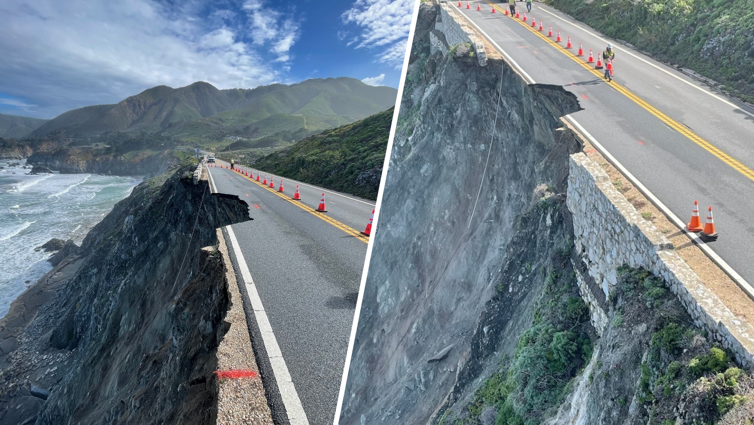
A weekend storm delivered below-normal temperatures, periods of rain and some mountain snow to Southern California -- and it's not over yet.
Here's the weekend weather timeline.
Get Southern California news, weather forecasts and entertainment stories to your inbox. Sign up for NBC LA newsletters.
Following scattered rain Saturday, another wave of showers moves in Sunday morning with a slight chance for thunderstorms. The storm will move out of the region later Sunday.
"That storm is going to press its way east to the north of us, but we're still going to get some activity on Sunday," Olmo said.
Early estimates show most areas will see 0.25 to 1 inches of rain with more possible in Ventura County. Mountain and foothill areas could receive 0.50 to 1.5 inches with up to 2 inches possible in the Ventura County mountains.
Snow will fall at elevations around 3,500 feet by Sunday morning. That could mean light snow over the Grapevine section of the 5 Freeway in northern Los Angeles County.
A Winter Weather Advisory will remain in effect until 5 p.m. Sunday in the mountains. Travel could become difficult due to gusty winds.
"The gusty winds will impact portions of Interstate 5 near Tejon Pass as well as Highways 14 and 138 in the Antelope Valley foothills," according to the NWS website.
Temperatures will remain below normal.
Looking ahead to next week, expect dry weather and a warming trends that begins Monday. Temperatures in the 80s are possible by mid-week.
