
Nearly all of California has a more than 95% chance of a damaging earthquake in the next century, a new United States Geological Survey map shows.
The new USGS National Seismic Hazard Model released Tuesday -- nearly 30 years to the day of the 1994 Northridge Earthquake in Los Angeles -- shows where damaging earthquakes are most likely to occur in the United States. The map is an update to a version released in 2018.

"This was a massive, multi-year collaborative effort between federal, state and local governments and the private sector,” said Mark Petersen, USGS geophysicist and lead author of the study. "The new seismic hazard model represents a touchstone achievement for enhancing public safety."
Get Southern California news, weather forecasts and entertainment stories to your inbox. Sign up for NBC LA newsletters.
Nearly 75 percent of the county could experience a damaging earthquake, according to researchers. The map update is the first comprehensive assessment of all 50 states.
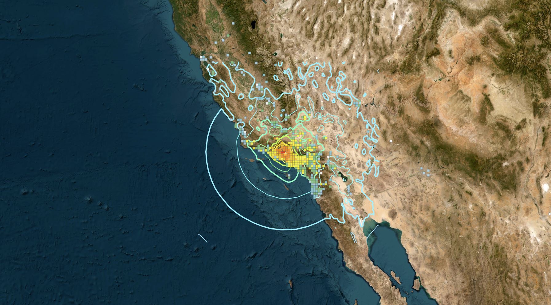
The seismic model was used to make the color-coded map above. The map depicts where damaging earthquakes are most likely to occur using seismic studies, historical geological data and the latest in data-collection technology, which helped researchers identify nearly 500 additional earthquake faults capable of producing a damaging earthquake.

Significant changes in the new model include a chance for greater shaking in California and Alaska, according to the USGS. The new model also shows the possibility of more damaging earthquakes in less seismically active zones like the central and northeastern Atlantic Coast, including f Washington D.C., Philadelphia, New York and Boston. Hawaii also has an increased potential for shaking based on observations from recent volcanic eruptions and seismic unrest, the USGS statement said.
"Earthquakes are difficult to forecast but we’ve made great strides with this new model," said Petersen. "The update includes more faults, better-characterized land surfaces, and computational advancements in modeling that provide the most detailed view ever of the earthquake risks we face."
The map can provide a guideline for future buildings and those that need retrofitting.
"Efforts to make our buildings enough stronger so that we don't have to rebuild them is a very small amount of money," said seismologist Dr. Lucy Jones. "And, retrofitting the older buildings that we know are going to kill people, because the older buildings with problems -- we know they're there. Only some cities have moved to get them strengthened. A lot of people are still living in buildings that we know can kill you."
Here are some of the key takeaways from the map, according to the USGS:
- Risk to people: Nearly 75% of the U.S. could experience potentially damaging earthquakes and intense ground shaking, putting hundreds of millions of people at risk.
- Widespread hazard: 37 U.S. states have experienced earthquakes exceeding magnitude 5 during the last 200 years, highlighting a long history of seismic activity across this country.
- Structural implications: The updated model will inform the future of building and structural design, offering critical insights for architects, engineers, and policymakers on how structures are planned and constructed across the U.S.
- Unified approach: This marks the first National Seismic Hazard Model to encompass all 50 states simultaneously, reflecting a massive collaborative effort with federal, state, and local partners.
- Not a prediction: No one can predict earthquakes. However, by investigating faults and past quakes, scientists can better assess the likelihood of future earthquakes and how intense their shaking might be.
