
What to Know
- The storm will come in two rounds Monday.
- One round of rain will start during the early morning commute, and the other will bring thunderstorms in the afternoon and evening, with a break in the middle.
- There are wind and winter storm advisories in place for the mountains.
Evacuations were ordered in part of Orange County after a morning of steady rain throughout Southern California from a spring storm that has more in store for the region.
Rain continued through the morning before tapering off. But another wave of showers is in the forecast for Monday evening.
A mandatory evacuation order was issued for Silverado Canyon, Williams Canyon and Modjeska in the Bond Fire burn area due to possible debris flows along or near the burn scar. A flash flood watch was issued for the burn scar area until midnight.
Get top local stories in Southern California delivered to you every morning. >Sign up for NBC LA's News Headlines newsletter.
The rainfall will come in two rounds Monday and Tuesday, with a break in the middle.
Here's when and where to expect the heavy rain as you head out the door Monday morning:
- Ventura County will see heavy rainfall between 5 a.m. and 10 a.m., with a brief break before more heavy rain between 3 p.m. Monday into 2 a.m. Tuesday.
- Los Angeles County will see heavy rainfall around 7 a.m. as the storm moves east until 1 p.m., then a break until 6 p.m., when rain will resume and continue until around 3 a.m. Tuesday.
- Orange County will start to see rain around 8 a.m., continuing until 2 p.m. They'll see a break in the clouds until 8 p.m., when water will return and continue to fall until 4 a.m. Tuesday.
- The Inland Empire will see rain from about 9 a.m. to 4 p.m., with a longer break until 9 p.m. when rain resumes and continues until 4 a.m. Tuesday.
Send us your storm photos! Click here to send NBCLA your photos and videos.
The biggest chance for thunderstorms comes in the afternoon.
The rain will make for slick roads and possibly some street flooding, so commuters and other travelers should take care driving on Monday.
For lower elevations at the coasts and inland, rainfall will likely range between .5" and 2" total.
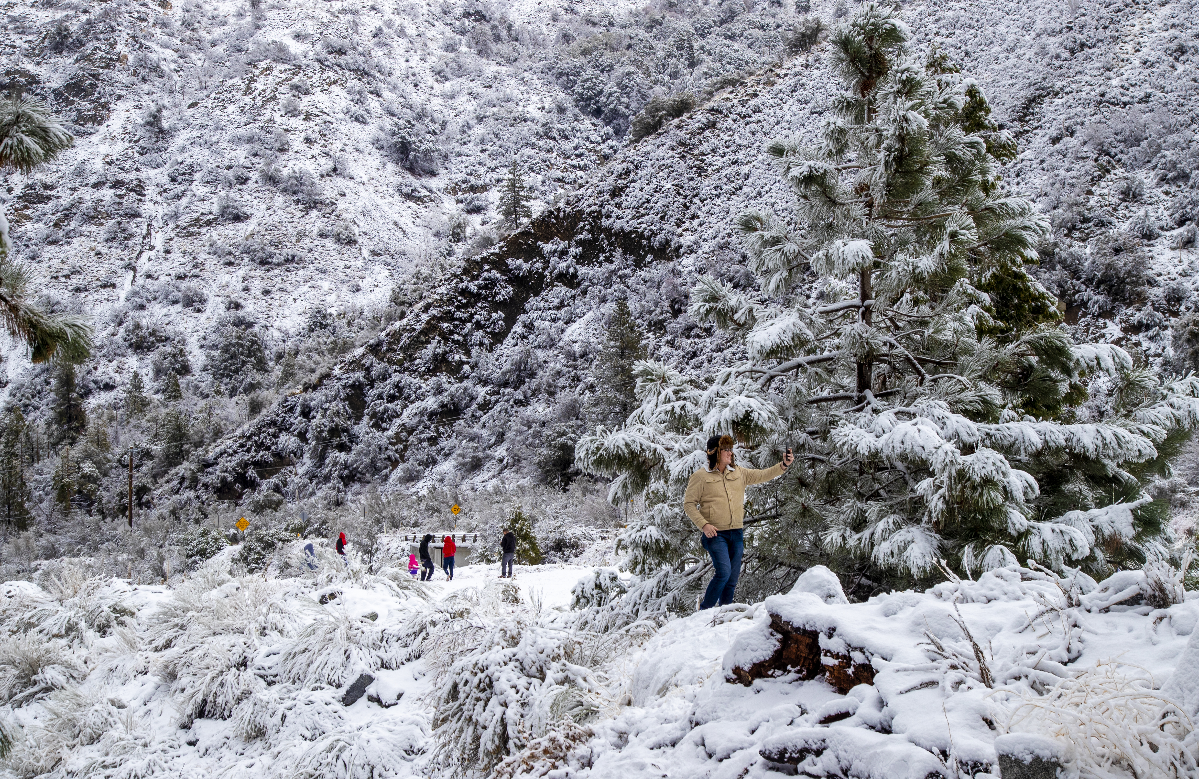
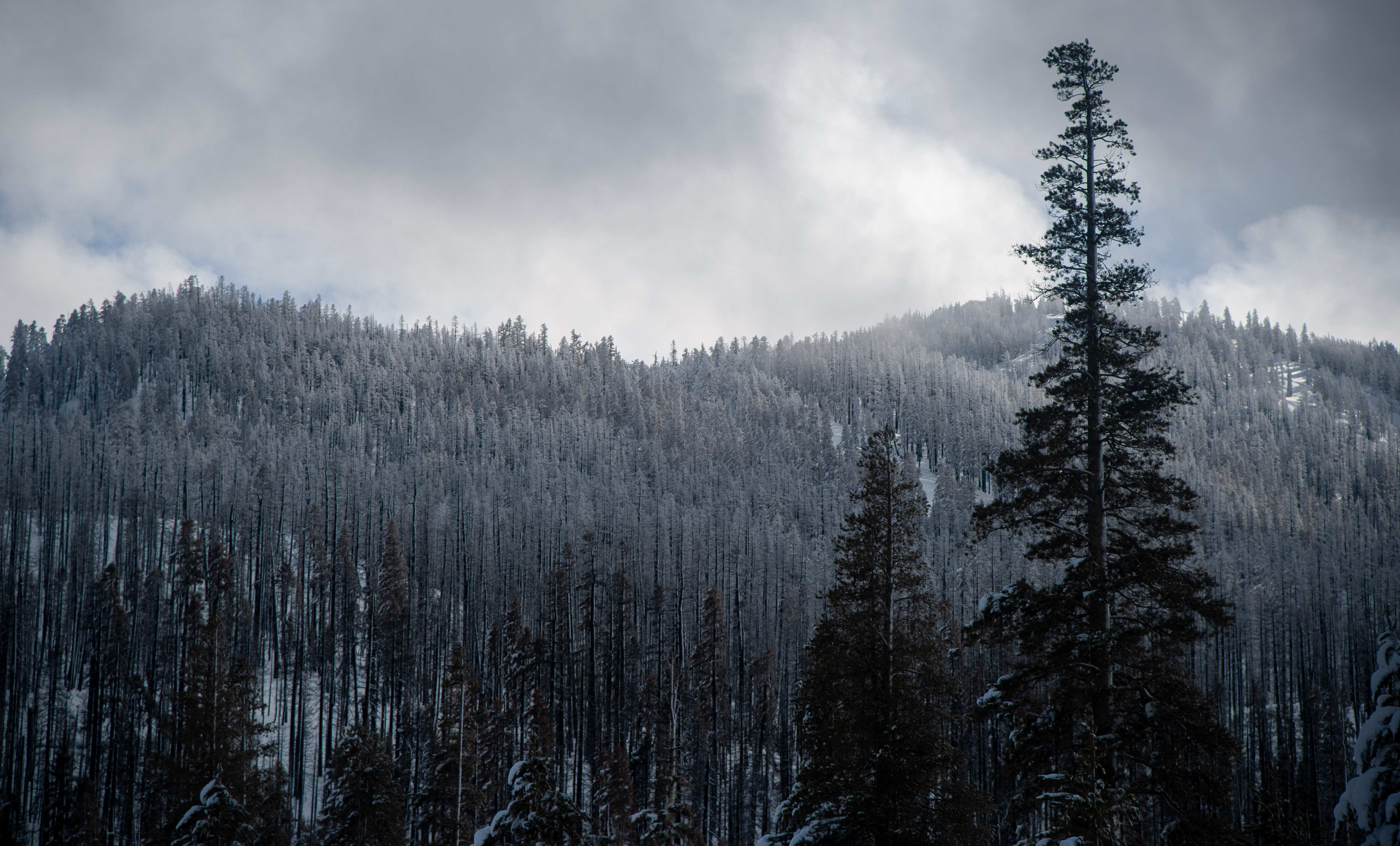
The foothills and mountains could see between 2" and 3" of rain. Above 6,000 feet, anywhere between 6" and a foot of snow could fall.
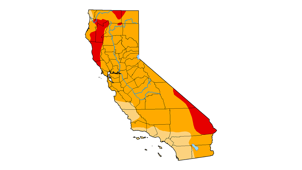
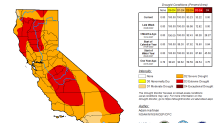
The storm, coming right at the end of SoCal's winter storm season, is set to bring much-needed moisture to a parched California.
To the north, the Bay Area is also expecting some moisture Sunday night into Monday morning as the storm moves down the coast. San Diego will see the same storm system starting Monday during rush hour.
Gusty winds will blow through the mountains and deserts as the storm picks up.
A wind advisory is in place for the LA and Ventura County mountains starting at 2pm Sunday, and continuing until 2pm Monday. Winds will reach speeds between 20 and 30 miles per hour, while gusts could go up to 45 mph.
Winter Storm Warning for the Mountains
A winter storm warning was issued for parts of Los Angeles County. That will be in effect until 6 a.m. Tuesday.
Heavy snow is expected in the Los Angeles County mountains, excluding the Santa Monica Mountain range. It includes the cities of Lockwood Valley, Mount Pinos, Acton, Mount Wilson and Sandberg.
Total snow accumulations of 6 to 12 inches are in the forecast above 6,000 feet. Up to 18 inches of snow is expected above 7,500 feet. Wind gusts are expected as high as 60 mph.
Travel could be very difficult to impossible in the effected areas and strong winds can cause tree damage.
Sunday's cooler weather will stick around for Monday's storm, with temperatures ranging from the high 40s or low 50s to the low 60s in most parts of the region.