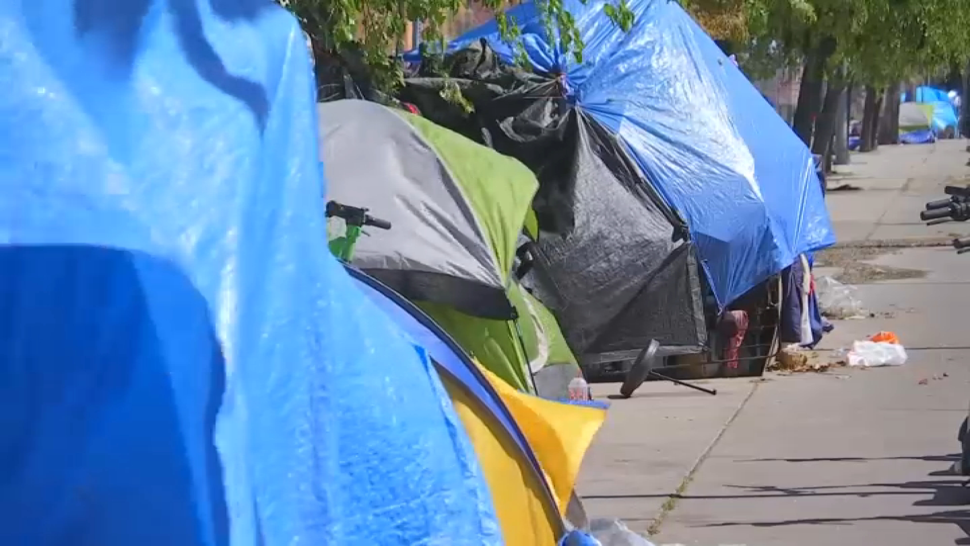
The first winter storm of 2019 is expected to move into the Southland this weekend, bringing with it rain, snow and fears of flooding and mudslides on mountain slopes recently scorched by wildfires.
NBC4 meteorologist Anthony Yanez estimated this weekend's storm will bring a half-inch to an inch of rainfall across the Southern California coast and valleys and more than double that amount in higher elevations, making it similar in size to the early December system that sent mud and rocks cascading onto roads and forcing evacuations in some areas.
The strong Pacific system, originating in the Gulf of Alaska and predicted to batter portions of Northern California, is expected to roll into the Southland Saturday and Sunday.
"Rainfall rates are below USGS burn scar flooding thresholds but there can always be minor debris flooding with the downpours," Yanez said.
It's part of a moderate El Nino weather pattern that experts said will continue to bring more precipitation to some regions of the state, with the outlook for the next few months indicating above-average rainfall.
That's welcome news for Southern ski resorts that may celebrate 4 to 8 inches of fresh powder this weekend, and up to three feet in the northern Sierra.
According to Yanez, between four and eight inches of snow are expected above 4,500 ft with up to a foot of snow at 7,000 ft.
News
Top news of the day
Residents in areas recently burned by wildfires -- where the soil does not absorb a lot of moisture and can be prone to hazardous mudflows that carry dirt, rocks and larger debris -- need to be prepared, experts warned.
December's similarly sized storm plagued the Southland with debris flows, flooded freeways and dangerous driving conditions, prompting road closures and mandatory evacuation orders in the recently burned Holy Fire area of Orange County.
The December storm did not prompt evacuation orders in the Malibu area, although some hillsides scorched in the Woolsey Fire sent mud and rocks cascading onto select mountain roads during a morning commute on Pacific Coast Highway near Leo Carrillo State Beach.
Malibu officials are readying themselves for this weekend's storm, notifying residents of the potential risks and possible evacuations in the burn area as well as forecasted high surf and dangerous rip currents along the coastline. City crews are clearing storm drains and culverts and placing temporary concrete blocks to stop potential debris flows. Free sandbags are being distributed at Malibu area fire stations.
"Flooding, mud and debris flows are a very real and dangerous threat to the communities affected by the Woolsey Fire," according to a statement from the city. "It is important to plan and prepare. Prepare for lack of water, power and natural gas, non-functional traffic signals, and roads that may be impassable. Mud and debris flows can have a devastating impact, including loss of life and home. Residents are urged to prepare for possible evacuations. Evacuation orders should not be taken lightly."
The peak rainfall in the Woolsey Fire area is expected between 8 p.m. and midnight Saturday, with rainfall rates of a quarter-inch and half-inch an hour.
It's a similar story in Riverside County, where the Cranston and Holy fires burned. In preparation for the upcoming storm, flood control crews have been working throughout the week to clear mud that slid into the McVicker Basin in the December storm. County officials expected the mud to be fully removed by this weekend.
Los Angeles County residents can find out more about storm preparation and safety tips at www.lacounty.gov/larain.


