
Showers of hugs and kisses, light rain and powerful wind gusts are in the Valentine's Day forecast for Southern California.
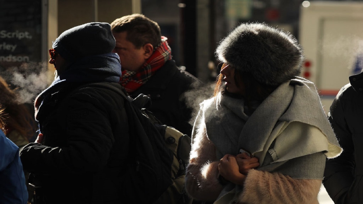
Strong north winds reach the region Tuesday accompanied by a cold air mass that will remain over the area through Thursday. Temperatures will run well below normal.
"You're going to need the coats and the jackets the rest of the week," said NBC4 forecaster Belen De Leon.
Temperatures start out in the 50s for most areas, climbing into the high 50s and low 60s by the afternoon.
Get top local stories in Southern California delivered to you every morning. >Sign up for NBC LA's News Headlines newsletter.
Expect a chilly evening with cold winds. Temperatures could reach daily record lows overnight.
Here's what to know about wind warnings and other advisories.
- In the Santa Clarita Valley, a high wind warning will be in effect from 10 a.m. to 10 p.m. Tuesday, with gusts of up to 60 mph possible.
- A high wind warning will be in effect from 6 a.m. to 10 p.m. Tuesday in the Antelope Valley, where gusts could reach 70 mph.
- Los Angeles County mountains could see even stronger winds, possibly up to 75 mph.
- The mountains will also be under a high wind warning from 6 a.m. to 10 p.m. Tuesday.
- The San Fernando Valley will be under a less severe wind advisory, with gusts up to 55 mph possible.
- An advisory will also be in place for most other areas of the Southland, with winds reaching up to 50 mph between 10 a.m. and 10 p.m.

Many areas are also being warned of potentially freezing conditions.
A freeze watch will be in effect in the San Fernando Valley Tuesday night through Wednesday morning, with temperatures potentially falling below 32 degrees.
In the Santa Clarita Valley, temperatures could fall as low as 29 degrees, with a freeze watch in effect from late Tuesday night through Wednesday morning.
Snow levels are expected to drop to about 2,000 feet Tuesday afternoon and night, according to the NWS, with light accumulations possible in the Antelope Valley.
“Daytime highs will definitely be below seasonal normals through Thursday, but nothing approaching problematic levels,” according to the NWS.
“However, overnight low Tuesday night and Wednesday night will be very cold, especially in any wind-sheltered areas. So, there may be widespread frost/freeze issues across the valleys and inland coastal plain.”