
What to Know
- Downpours left some streets flooded early Thursday ahead of the morning drive.
- Rain increased late Wednesday and continued to soak Southern California overnight.
- Gov. Gavin Newsom proclaimed a state of emergency throughout California due to severe weather.
A powerful winter storm that brought heavy rain overnight continued to pound Southern California with heavy downpours that flooded streets and threatened to trigger debris flows in the region's wildfire burn areas.
Pockets of moderate rain developed Wednesday and continued throughout the day. But that was just a precursor to the storm's peak intensity.
Get Southern California news, weather forecasts and entertainment stories to your inbox. Sign up for NBC LA newsletters.
"This morning is when we're going to see the heaviest rain," said NBC4 forecaster Belen De Leon. "It's very unsettled weather as we go throughout the day."
The storm delivered a wallop overnight and into Thursday morning, when drivers are encountered flooded roads during the morning commute. In Long Beach, the 710 Freeway was closed near State Route 91 due to flooding.
The Sepulveda Basin from Burbank Boulevard to the 405 Freeway and Balboa Boulevard and Woodley Avenue from Burbank and Victory boulevards were closed due to flooding. Flooded roads also were reported in the Sun Valley area.
Images: Send Us Your January Storm Photos
In Mailbu, State Route 23 was closed in both directions from Pacific Coast Highway to Decker School Road due to a rockslide.
Evacuations were ordered for those living in areas burned by three recent wildfires in Santa Barbara County. Among the towns ordered to evacuate was Montecito, where five years ago huge boulders, mud and debris swept down mountains through the town to the shoreline, killing 23 people and destroying more than 100 homes.
Underscoring the severity of the West Coast storm, Gov. Gavin Newsom proclaimed a state of emergency throughout California. The declaration bolsters emergency response efforts and authorizes the mobilization of the California National Guard for disaster response.
Here's what to know about the storm, weather alerts, travel conditions and more.
When will the heaviest rain arrive in Southern California?
The heaviest rain will be overnight into Thursday morning after scattered showers Wednesday.
Rainfall will range from one-tenth to a quarter-inch per hour in some areas early Wednesday. The rain will increase steadily, with downpours continuing into Thursday and reaching an inch per hour in some locations.
The storm's peak intensity is expected to deliver the heaviest rain Thursday morning. Two to 4 inches of rain could fall across most of the area, with some mountain areas receiving 4 to 8 inches.
Los Angeles and Ventura counties can expect the most rainfall. Los Angeles County is forecasted to get 1-3 inches, with most of the rain falling between 12 a.m. and 9 a.m. Thursday, NBCLA meteorologist David Biggar forecasted. Ventura County could get an inch-and-a-half to four inches, especially in the higher elevations.
Downpours could result in flash flooding and debris flows.
In the San Gabriel Valley, K-rails were installed on streets in a foothill neighborhood in Duarte, where the storm raises the risk of destructive mud and debris flows.
Flood watches and other weather alerts
A flood watch will be in effect Wednesday evening through Thursday afternoon for most of the region. That's just one of the weather alerts to know about.
- In Topanga Canyon, State Route 27 (Topanga Canyon Blvd.) is closed in both directions from State Route 1 (PCH) to Grand View Dr. due to a mud slide. It is expected to be closed until Friday morning, Jan. 6, Caltrans says.
- In Santa Barbara County, an evacuation order was issued for people residing in the area of the Alisal, Thomas and Cave Fire burn scars.
- In Orange County, the flood watch will be in effect Thursday morning through Thursday afternoon.
- A high surf advisory was in effect from 6 a.m. Thursday to 10 a.m. Friday.
- A winter storm warning will be in effect from 6 p.m. Wednesday to 10 p.m. Thursday for the Los Angeles County Mountains including the cities of Acton and Mount Wilson.
- A wind advisory will be in effect in Orange County from 2 a.m. to 4 p.m. Thursday, with winds of 15 to 25 mph possible, including gusts of up to 40 mph
- Wind watches could be issued in Los Angeles County mountains and deserts.
- A wind advisory was in place for San Bernardino and Riverside county valleys.
Photos: Scenes From Southern California's January Storm
Travel Warning Ahead of California Storm
Caltrans warned drivers statewide to stay off the roads if possible during the storm.
"Caltrans districts statewide are coordinating with local & state officials to assist with this latest storm system. TRAVEL IS NOT RECOMMENDED," the agency tweeted Tuesday.
Heavy snow was expected above 6,000 feet initially, but levels will drop Thursday, potentially affecting some of the higher roadways in the mountains, such as Angeles Crest and Big Pines highways in Los Angeles County.
The storm threat also led to a planned closure of Laurel Canyon Boulevard. The Los Angeles Department of Transportation announced that the canyon road will be closed between Hollywood Boulevard and Mulholland Drive from 8 a.m. to noon Wednesday.
"There will be many potential problems associated with this storm system including urban and small stream flooding, rocks and debris on roads, downed trees and numerous power outages, and mud and debris flows out of recent burn areas," the National Weather Service said.

When will the storm move out?
Rainfall will decrease by Thursday night and into Friday.
More rain is possible over the weekend, but nothing to match the severity of Thursday's conditions. More rain was in the forecast early next week, with a chance of
showers Sunday through Tuesday.
Temperatures will remain about six degrees cooler than normal through the weekend.
Northern California Flooding
But back-to-back-to-back powerful storms have left many Californians preparing for the worst.
On New Year's Eve, much of the state was drenched in heavy rain causing floods that killed one person and damaged a levee system in Sacramento County.
In San Francisco, crews were rushing to clear trash, leaves and silt that clogged some of the city's 25,000 storm drains during Saturday's downpour before the next storm hits later this week.
The National Weather Service is predicting up to 6 inches of rain in San Francisco with winds of speeds up to 30 mph with gusts of 60 mph.
Mayor London Breed said city workers may not have enough time to clean all the storm drains before Wednesday and asked the public to prepare by getting sandbags to prevent flooding, avoiding unnecessary travel and only calling 911 in a life-or-death emergency.
City officials had distributed 8,500 sandbags as of Tuesday, asking residents to only get them if they have experienced flooding in the past. Tink Troy, who lives in South San Francisco, picked up some sandbags from the city's public works department on Tuesday.
California Drought Update
Nearly 98 percent of the state remained in drought at the end of December. More than 80 percent of the state was in severe drought, the third most severe category in the weekly Drought Monitor report.
A swath of the agricultural Central Valley north of Los Angeles remained in exceptional drought, the most severe category. Extreme drought stretched from northern Los Angeles County through the central part of the state to the Oregon border.
California has spent most of the last 15 years in drought conditions. The current three-year dry spell included one of the driest late winters on record.
The state's normal wet season runs from late fall to the end of winter, but dismal precipitation left about 95 percent of California in severe drought at the start of spring. By September, nearly all of California was in drought.
Much of California’s water comes from melting snow in the Sierra Nevada Mountains. In an ideal scenario, storms blanket the mountains with snow during winter, building up the natural reservoir. That snow then melts in late spring and early summer, replenishing the state's water system. Snowpack was far below normal in Spring 2022.
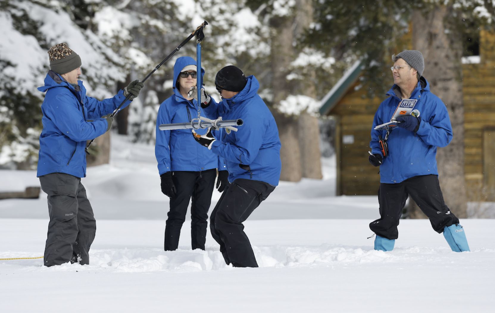
Late fall storms brought reason for optimism. California's statewide snowpack level was more than 200 percent above normal in mid-December after powerful December storms blanketed the Sierra Nevada Mountains with snow.
In December 2021, statewide snowpack was at a dismal 22 percent to normal.
The Jan. 3 snowpack survey brought even more promising signs.
