
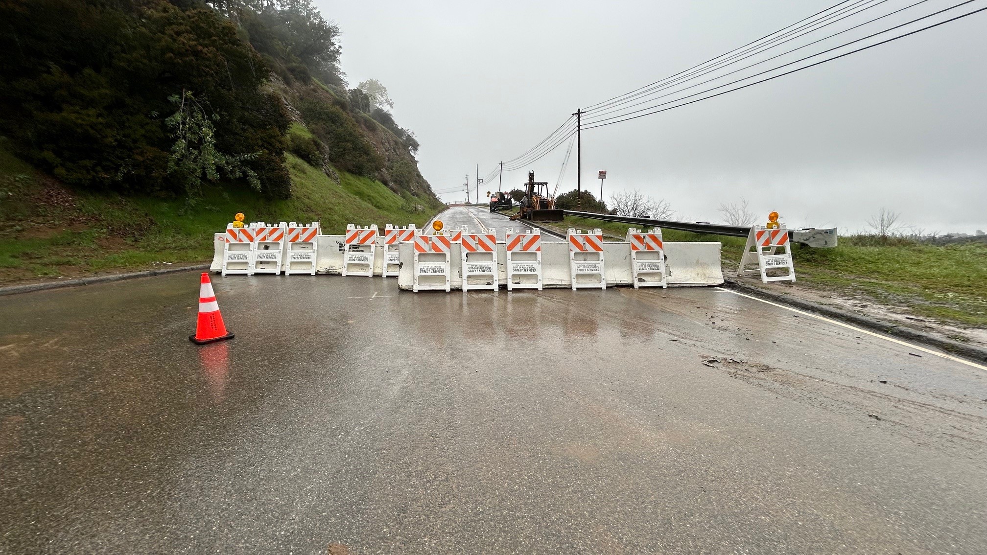
A flood warning was issued Sunday for the Ventura River as a slow-moving storm into Southern California.
The warning, due to a slow-moving storm that will bring hours of rainfall to the region, will remain in effect into late Monday morning. The river is expected to rise above flood stage Sunday evening and crest at 18.1 feet.
Flood stage is 17. 6 feet.
Get top local stories in Southern California delivered to you every morning. >Sign up for NBC LA's News Headlines newsletter.
Residents can expect flooding at Terro Ranch upstream of the Main Street bridge in Ventura. The crest will be comparable to a previous crest of 18.2 feet in May 2023, according to the National Weather Service.
The area is north of Ventura alongside Highway 33.
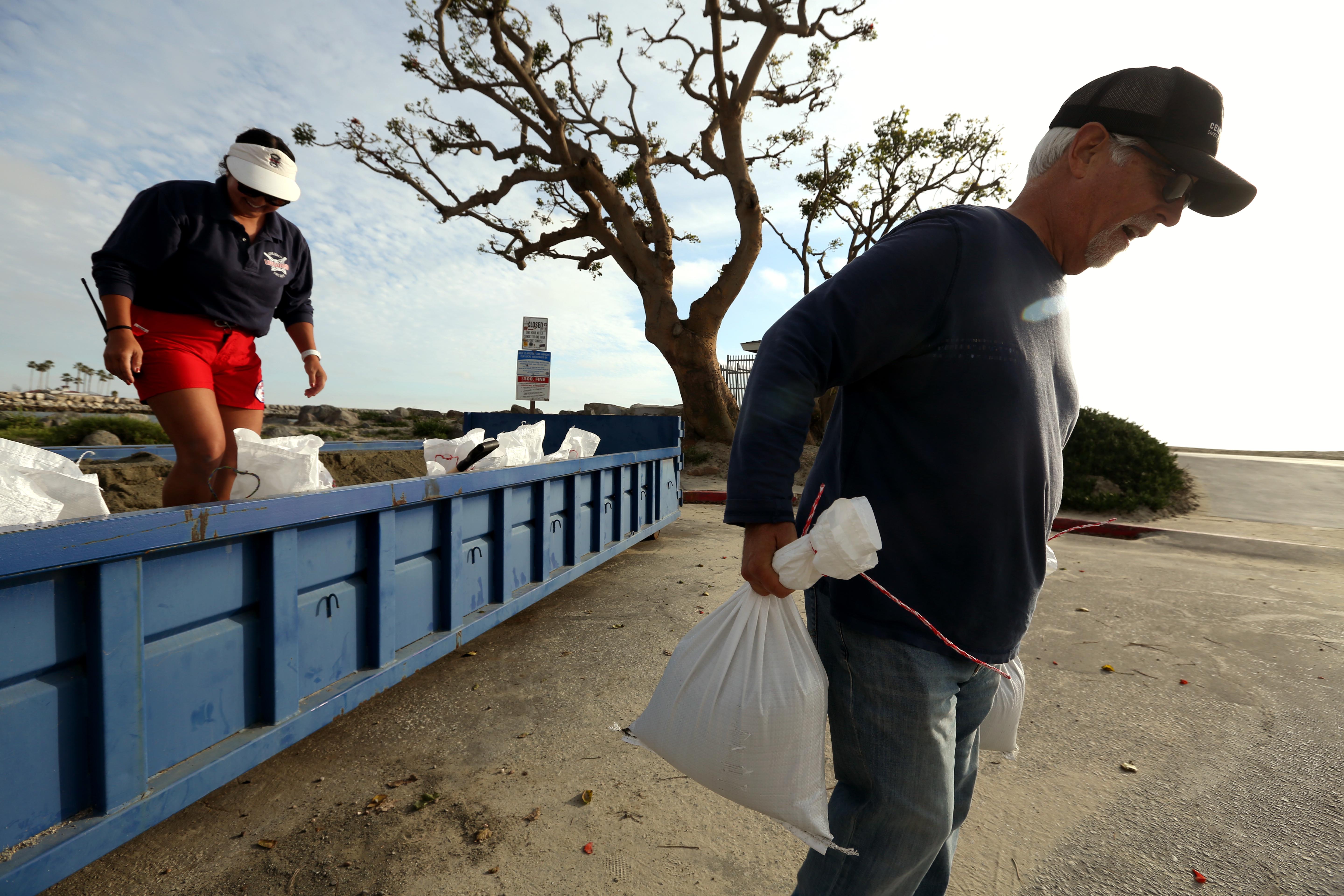
The highest flash flooding risk from the atmospheric river-fueled storm will likely be in Ventura County, extending into parts of LA County. That threat increases and spreads to a greater area on Monday.
Evacuation warnings and orders were issued for parts of Ventura and Los Angeles counties ahead of the storm.
A flood advisory was in effect until 2 p.m. for other parts of Ventura and Santa Barbara counties, including Santa Barbara, Lompoc, Ojai, Santa Ynez, Montecito, Point Conception, Carpinteria, Solvang, El Capitan State Beach, Isla Vista, Refugio State Beach, the 101 Freeway through Gaviota State Park, Summerland, Rincon Point, La Conchita, Goleta, Buellton, Lake Cachuma, Highway 154 over San Marcos Pass and the Santa Barbara Airport.
Light showers moved into areas north of Los Angeles late Saturday and into the overnight hours. Rain will become more widespread Sunday and into Monday.