
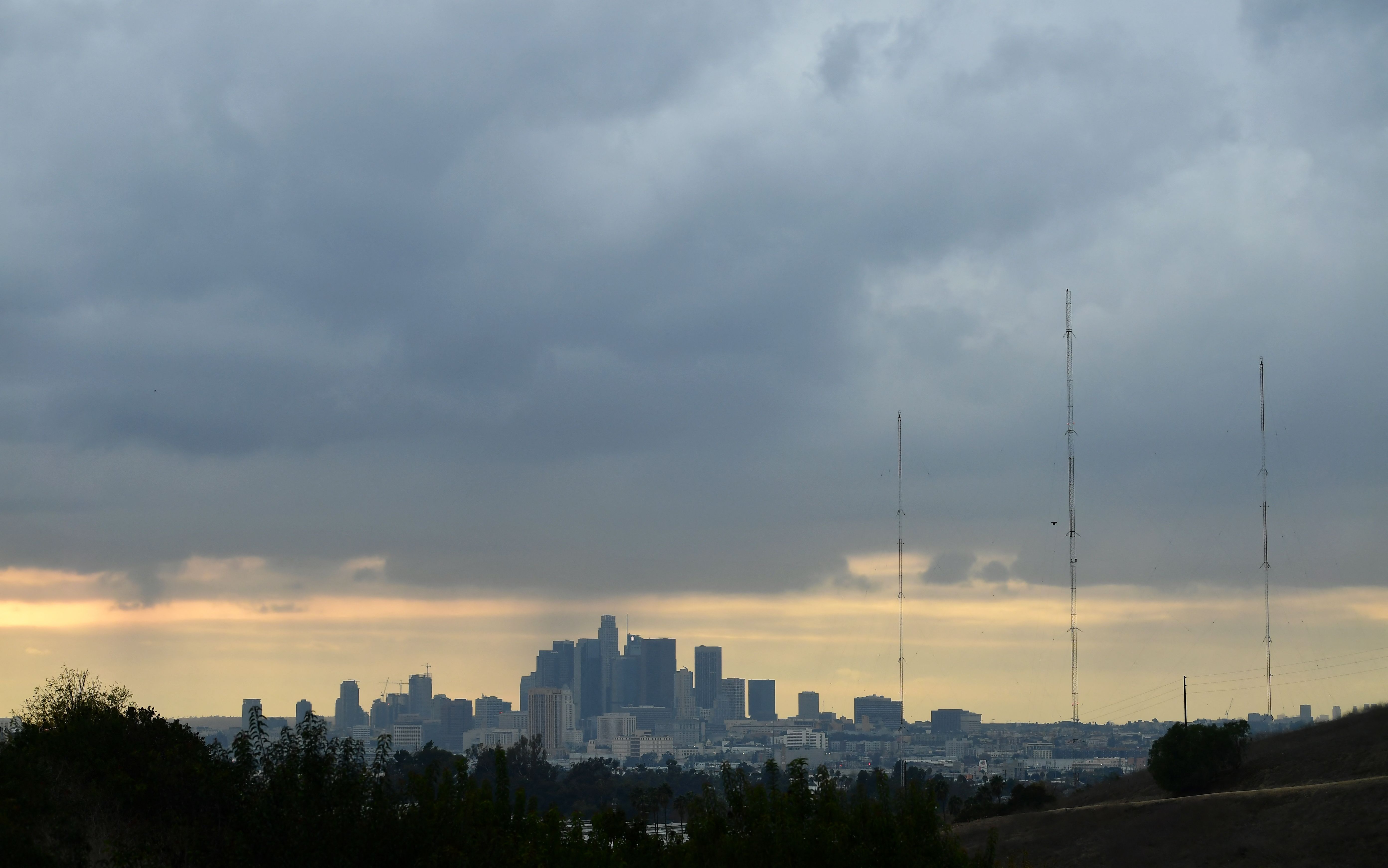
Showers and scattered thunderstorms are possible Monday in parts of Southern California due to the remnants of a tropical storm that moved up the Baja California coast over the weekend.
Flash flood warnings are in effect for parts of San Bernardino and Riverside counties until 4:30 p.m. The National Weather Service warned of excessive rainfall over the Apple and El Dorado fire burn scars, which could result in debris flows and flooding.
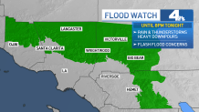
A less severe flood watch will be in effect until Monday night for Los Angeles County mountains and the Antelope Valley. Communities under the flood watch include Palmdale, Acton, Mount Pinos, Mount Wilson, Lockwood Valley and Lancaster.
"First half of the day is going to be dry, but here we are in the afternoon hours with storms firing up in the mountains and deserts," said NBC4 forecaster Belen De Leon.
Get Southern California news, weather forecasts and entertainment stories to your inbox. Sign up for NBC LA newsletters.
In Riverside County, a flood watch is in effect until later Monday evening for the region's mountains, Apple and Lucerne Valleys, high desert areas and the San Gorgonio Pass near Banning. The watch area extends into the San Bernardino County mountains and northern Ventura County.
A flood watch means conditions are favorable for flooding. A flood warning is issued when flooding is imminent or occurring.
Storm runoff could cause flooding of rivers, creeks, streams, and other low-lying and flood-prone locations. Mud and debris flows are possible around recent burn areas.
Heavy downpours are possible with rainfall rates exceeding 1 inch per hour.
Record rainfall was reported in Palmdale and Sandberg on Sunday. Palmdale Airport recorded 0.46 inches of rain, breaking a record of 0.23 inches set in 1976. Sandberg recorded 0.32 inches of rain, breaking a record of 0.31 inches set in 1976.
About 50 people were rescued from cars trapped in a mudslide Sunday evening near Lake Hughes.
Remnants of Kay also caused flooding Saturday that stranded about 40 vehicles and closed part of State Route 190 in Death Valley National Park east of Los Angeles. The park is still cleaning up from floods five weeks ago.
Temperatures will be in the 80s and 90s for most of Southern California, a drop from widespread upper 90s and triple-digits during last week's heat wave.
"It's going to be warm, it's going to be a little humid and muggy, but thankfully we're not looking at temperatures like we had last week," said De Leon.
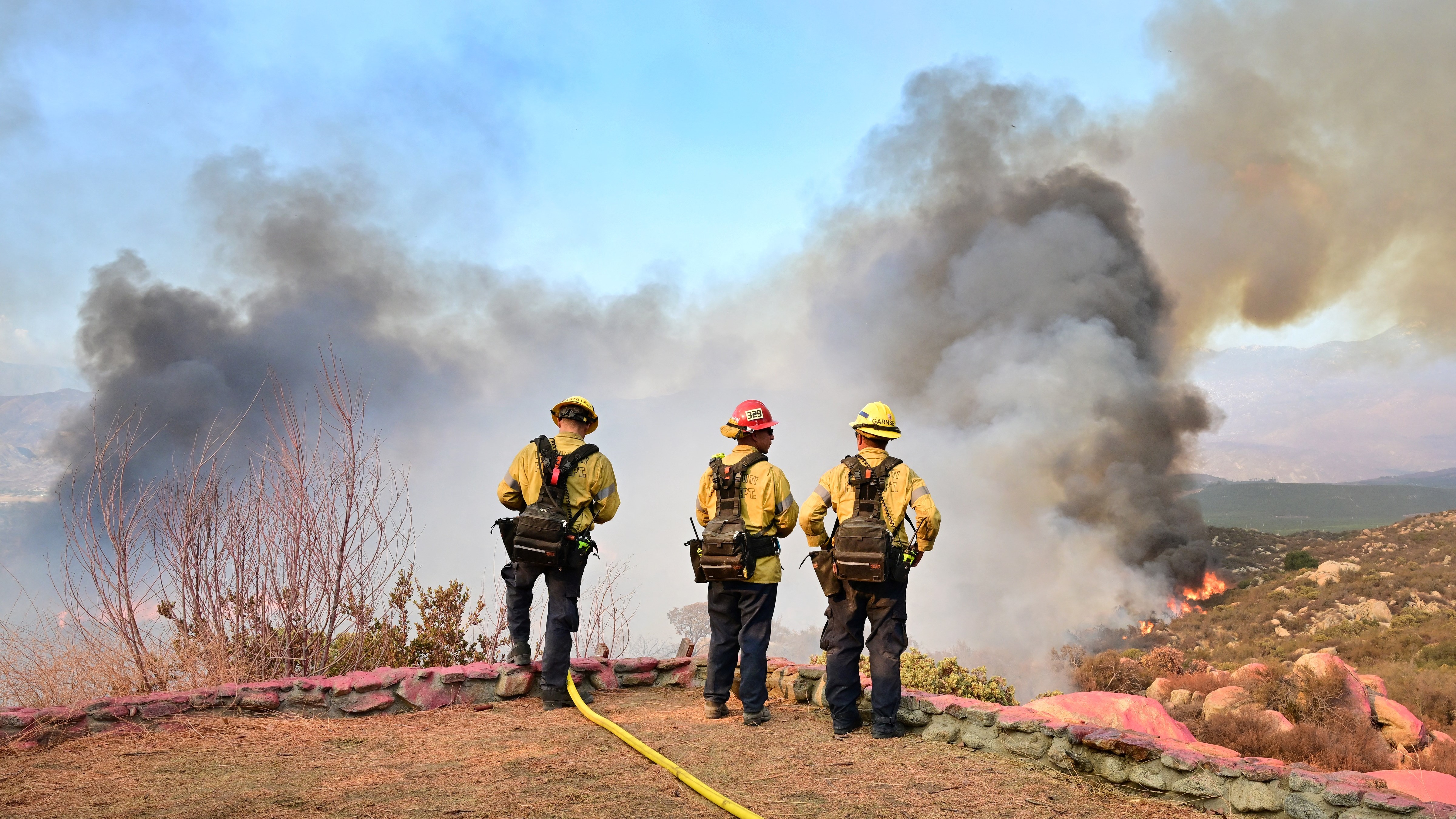
In Southern California, the cooler temperatures and rain over the weekend helped firefighters gain ground on state's largest wildfire. The Fairview Fire near Hemet was more than half-contained Monday morning. The fire has destroyed at least 30 homes and other structures in Riverside County.
Two people died Sept 5 as they tried to escape the flames.
Looking ahead to the rest of the week, storms are possible and humidity will linger. Temperatures drop slightly on Wednesday and Thursday with a marine layer returning to the coast.
