
A system delivering cold temperatures, mountain snow and the possibility of thunderstorms will become widespread Sunday following its Saturday introduction with scattered showers.
The storm, which is the first significant system of the season, marks the first time that much of Southern California has seen rain in about eight months. It brings with it a flurry of weather advisories that include flood watches in fire-charred areas and winter weather advisories for the mountains.
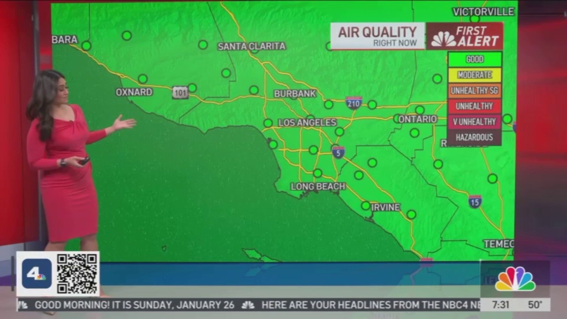
Stream Los Angeles News for free, 24/7, wherever you are.

Rain
Get top local stories in Southern California delivered to you every morning with NBC LA's News Headlines newsletter.
Sunday’s rainfall will be accompanied by a chance of thunderstorms across the Southland. That chance will increase later in the day through Monday, which prompted the National Weather Service to issue a flood watch for areas affected by the Palisades, Eaton and Hughes Fire.
“This is when we expect those thunderstorms to develop, and we will be watching those recent burn scars,” NBC4 Meteorologist Shanna Mendiola said. “This is mainly for those areas with possibility of thunderstorms later this afternoon. We could be seeing heavier rain rates in those areas and that’s when the risk of mud and debris flow happens for us here.”
FLOOD WATCH is in effect for 4pm Sun to 4pm Mon. Here are the key details. While damaging debris flows are not the most likely outcome, there is still a lot of uncertainty with this storm. The threat is high enough to prepare for the worst-case scenario. #PalisadesFire #EatonFire pic.twitter.com/bbBGMJX90Y
— NWS Los Angeles (@NWSLosAngeles) January 25, 2025
She added that mudslides are possible if the rain falls quickly.
“Local street flooding is possible,” she said. “It’s not going to be anything that’s too bad, but we will see occasional showers that may pick up and that’s when you’re going to find those issues. So drive slowly and safely today.”
The flood watch will be in effect through 4 p.m. Monday.
Snow
With the widespread rain, the snow chance in Southern California has extended from mountain communities to the high deserts, too.
The Grapevine may see a dusting of snow but if so, that will most likely occur overnight into Monday. Areas such as Gorman, Lancaster and Victorville may also get a blanket of snow, as well.
“We typically don’t see snow there, but that’s what’s going to happen with this system as it’s a very cold winter storm,” Mendiola said.
Elevations from 4,000 feet and up may see 3 to 6 inches of snow, while higher elevations of 5,000 and up may get 6 to 12 inches.
Big changes coming this Sat-Mon with rain and mountains snow. Here are the snow highlights. Plan for slow mountain travel with road delays and isolated closures. Focused Saturday Night - Sunday night. #cawx pic.twitter.com/DRXpJVz5Wi
— NWS Los Angeles (@NWSLosAngeles) January 23, 2025