
Mother Nature provided a spectacular sight at the dawn of a new baseball season in Los Angeles.
After a spring storm drenched Southern California overnight, a double rainbow appeared Thursday morning behind Dodger Stadium, where the Dodgers will play Arizona Thursday night on Major League Baseball's opening day.
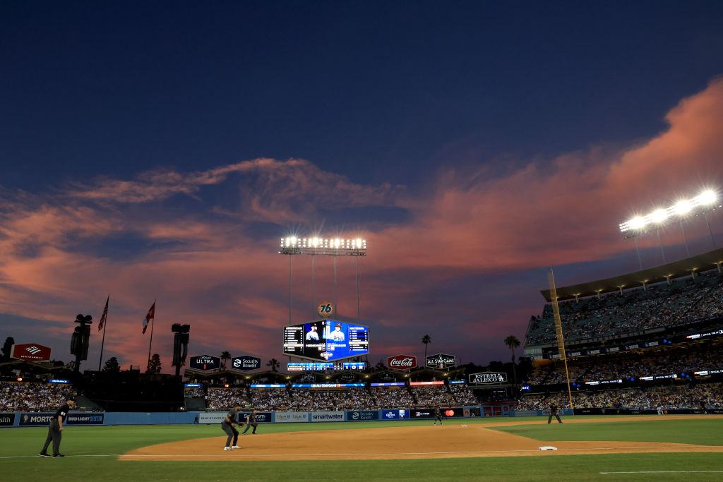
First pitch is scheduled for 7:10 p.m.

Get Southern California news, weather forecasts and entertainment stories to your inbox. Sign up for NBC LA newsletters.
Thursday's forecast includes temperatures 10 to 15 degrees below normal. The chance of rain diminishes by late Thursday afternoon with game-time temperatures in the mid-50s.
Isolated thunderstorms are possible as the storm makes its way out of the region.
"It's going to be a chilly day with some scattered showers," said NBCLA forecaster Belen De Leon. "We could see some thunderstorms with dangerous lighting, small hail, gust winds, heavy downpours, and we can rule out the possibility of tornadoes."
Los Angeles is nearly 14 inches above its seasonal rainfall average for this time of year after a series of storms in February and March.
Short periods of heavy rain are likely with the next wave of the storm, adding up to between a quarter-inch and 1 inch of additional rain before the system moves out.
The storm also brought more snow to Southern California's mountains. The snow level fell to about 4,000 feet Wednesday morning, bringing a mix of rain and snow to higher elevations. The level dropped to around 3,500 feet Wednesday night, likely leading to several inches of snow falling at higher elevations.
Light accumulations are possilbe on the 5 Freeway in northern Los Angeles County.
The new round of rain again increased concerns about already-saturated ground giving away in the form of mudslides. The Los Angeles Fire Department responded shortly after 8 a.m. to a roughly quarter-acre mudslide in the Beverly Crest area that blocked at least two residential driveways. No injuries were reported and no major structural damage was detected.
In northern Los Angeles County, a landslide that began last week along the southbound 5 Freeway north of Templin Highway began to expand thanks to the new precipitation, swallowing some of the pavement on the freeway shoulder and advancing toward the actual traffic lanes. Caltrans closed off the two right lanes of the freeway late last week due to the advancing slide.
A winter storm warning will be in effect until 2 p.m. Thursday in the eastern San Gabriel Mountains, with a total of 6 to 12 inches of snow possible above 5,000 feet. Forecasters said some higher peaks could see up to 18 inches, with the snow accompanied by winds gusting up to 45 mph.
The western San Gabriel Mountains and 14 Freeway corridor will be under a winter weather advisory until 2 p.m. Thursday, with 4 to 8 inches of snow possible above 5,000 feet. The advisory will also be in place during the same hours for the 5 Freeway corridor in northern Los Angeles County, where an inch of snow could fall on the Grapevine.
Expect dry but cool conditions for Friday and the weekend.
Click here to follow NBCLA's opening day live coverage.
City News Service contributed to this report.
